


PangeAI
Instant, agent-driven spatial analysis and decision-making
What is PangeAI?
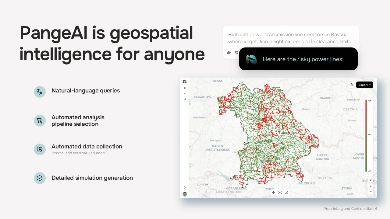
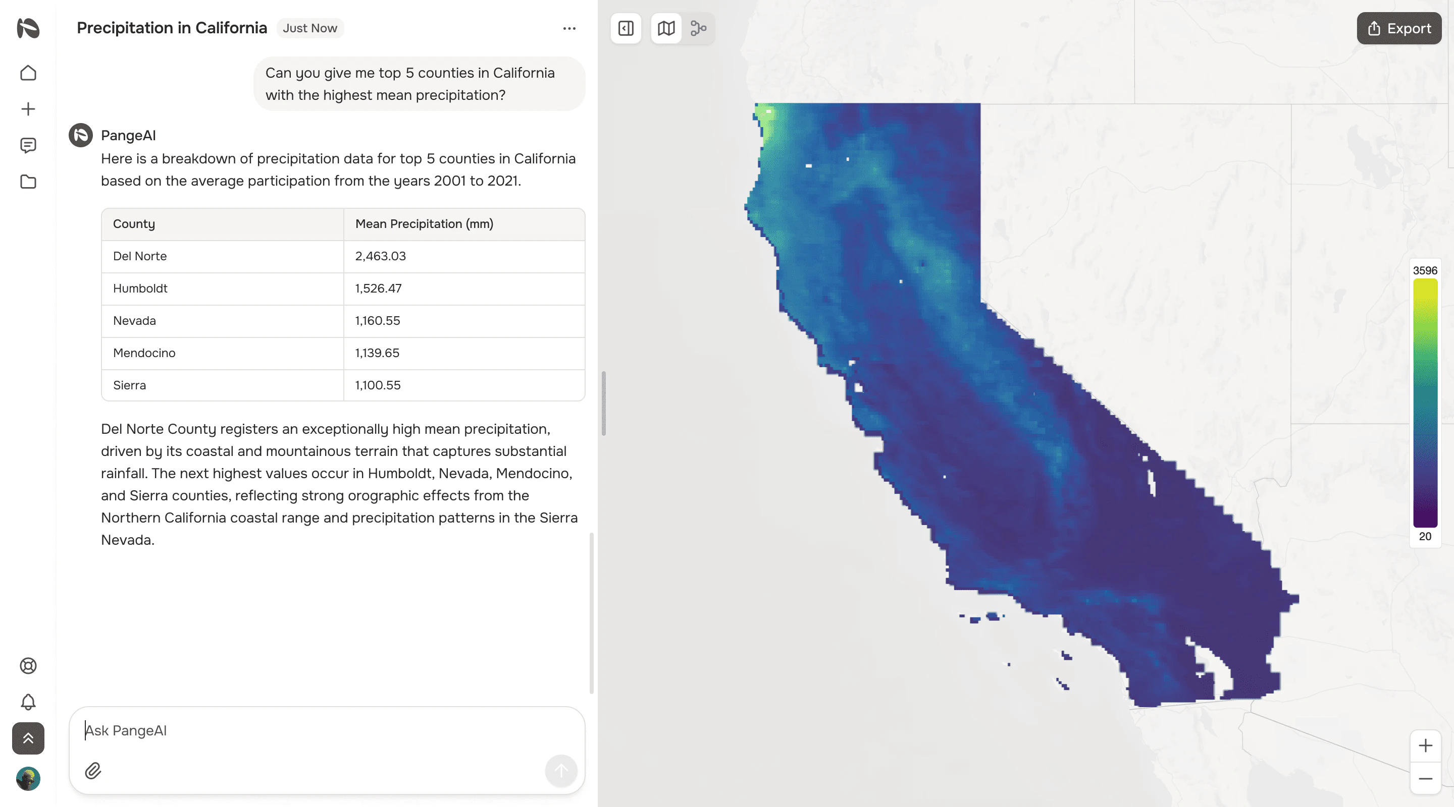
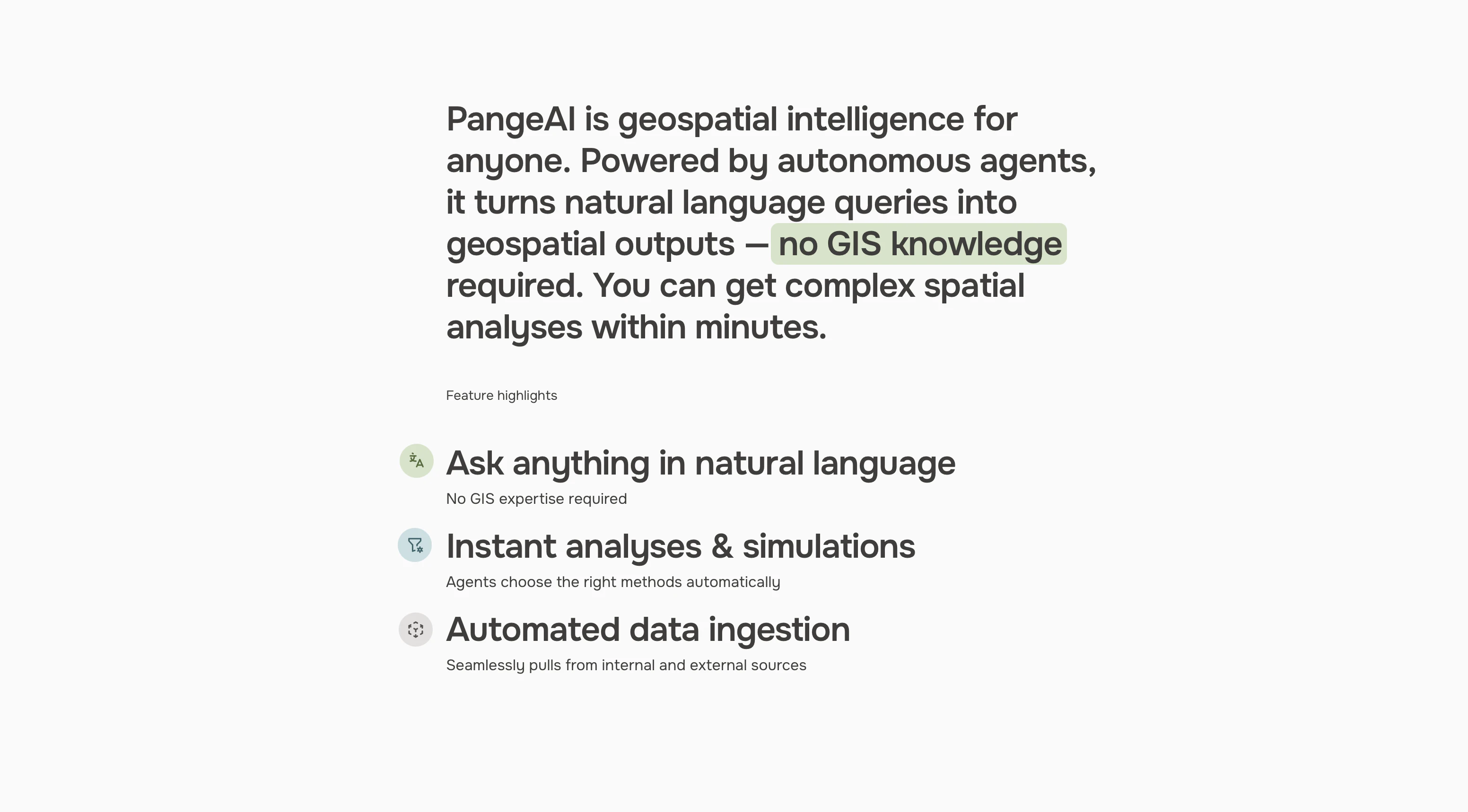
PangeAI is an agentic layer over geospatial data: satellite imagery, vector geometries, coordinate systems. You can answer physical-world questions without a GIS team. "Which of my 400 sites flooded last month?" Minutes, not weeks. Built between Silicon Valley and Europe
From the website
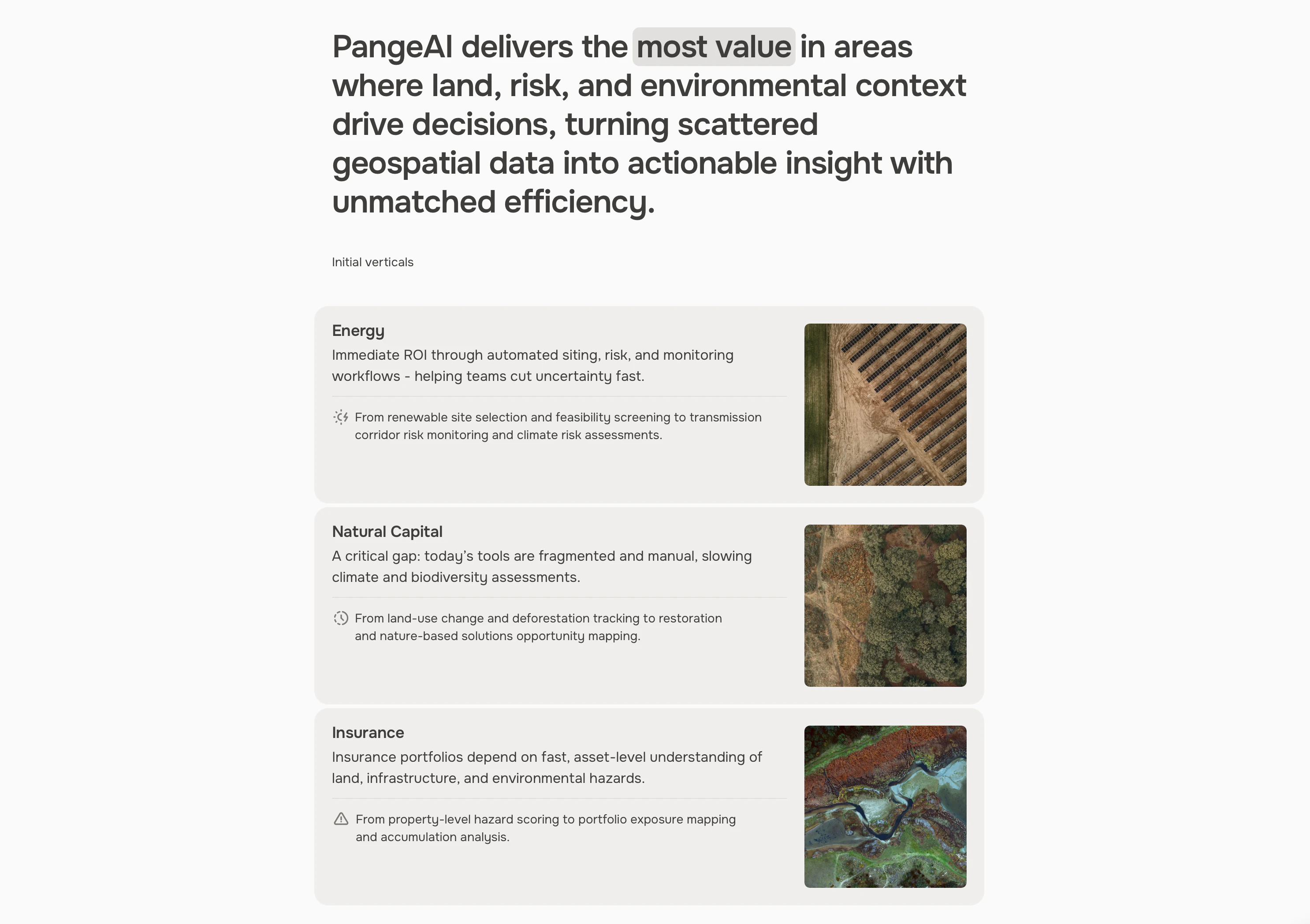
PangeAI is the AI agent platform for Earth data. Meet Geoffrey — geospatial intelligence for insurance, energy, real estate, and mining.
Visit Website →Screenshots
?
No comments yet. Be the first!