


Spatial Logic
A lightweight scan - 3D model processing and viewer platform
什么是 Spatial Logic?
Turn site scans into a searchable, shareable 3D digital twin. Spatial Logic helps construction, security, and facilities teams capture, annotate, and explore real spaces from any browser. As easy as 1. drop your folder of drone data in (or existing 3D model) 2. we process it. 3. view, measure, edit, and share the picture perfect model with your clients or team.
截图

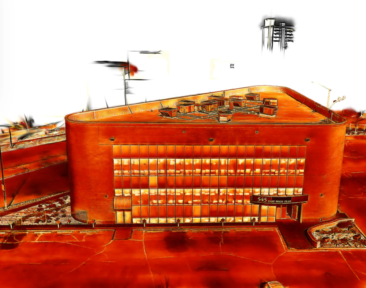
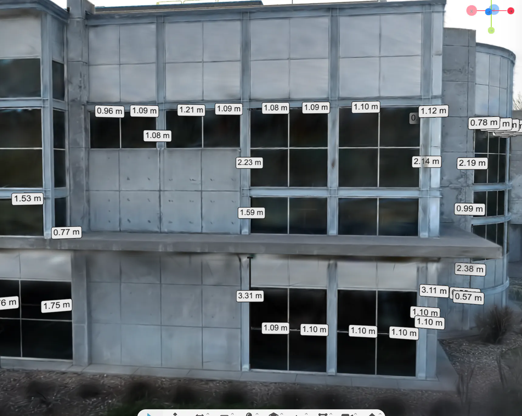
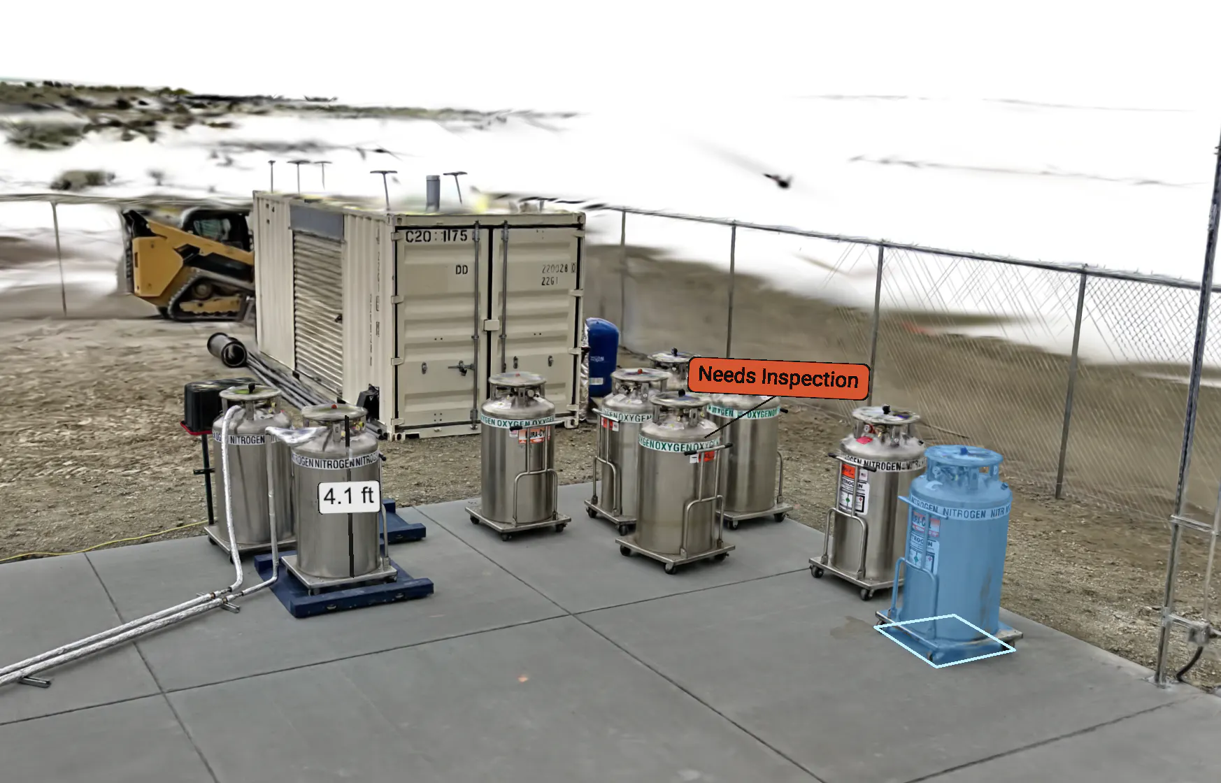
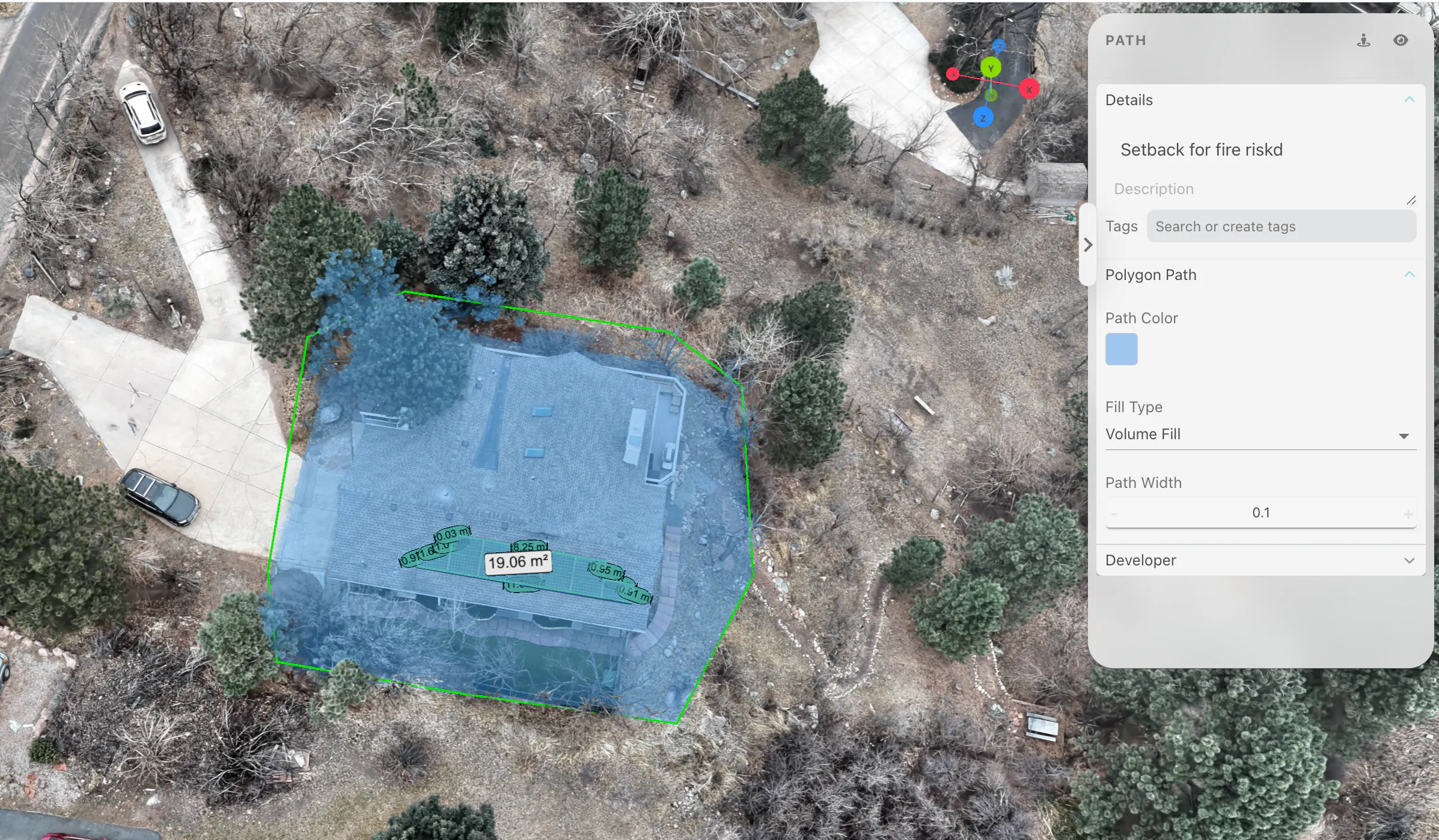
?
还没有评论,来抢沙发吧!
X 上关于 Spatial Logic 的真实讨论
去 X 发帖