


PangeAI
Instant, agent-driven spatial analysis and decision-making
什么是 PangeAI?
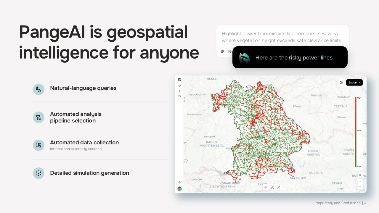
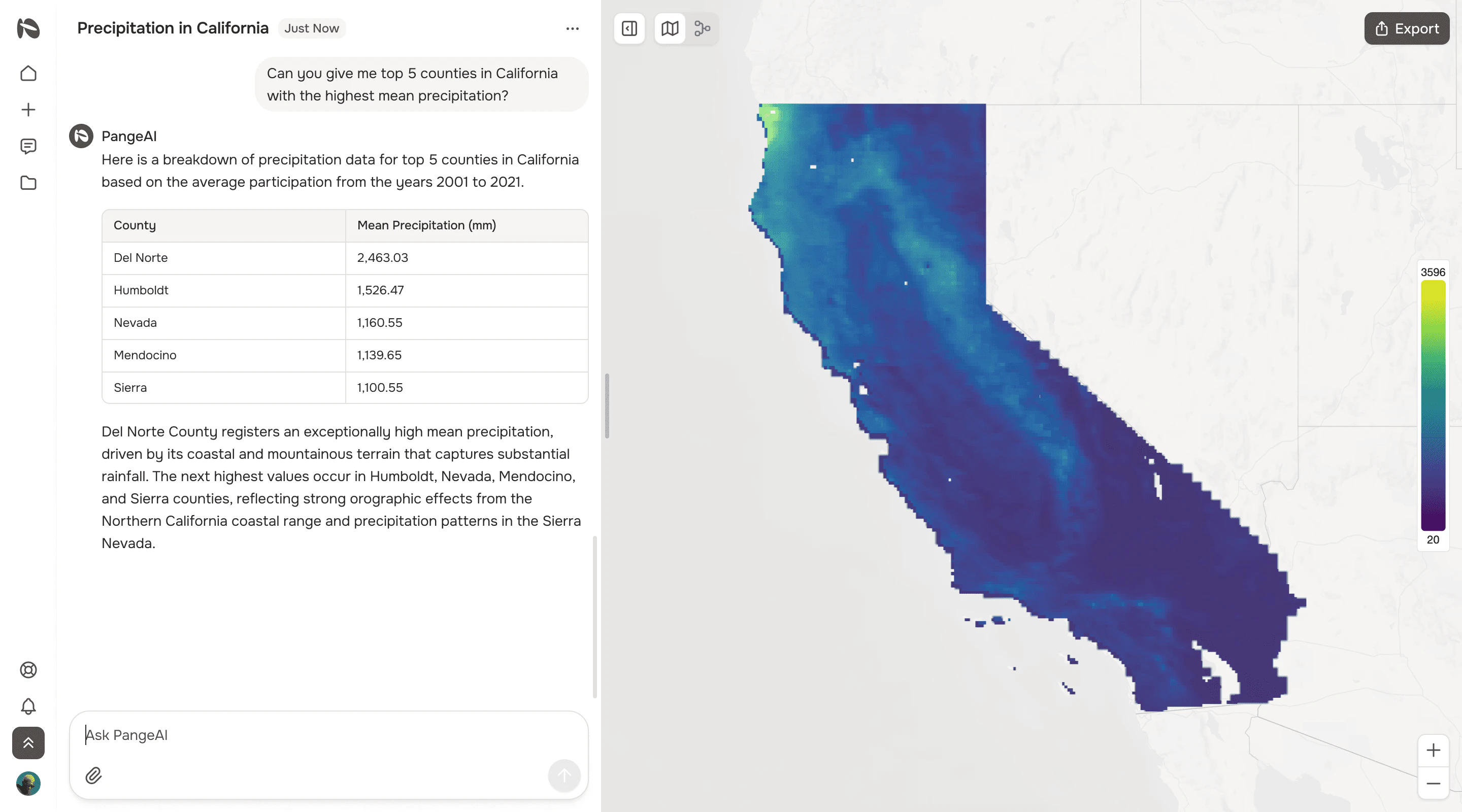
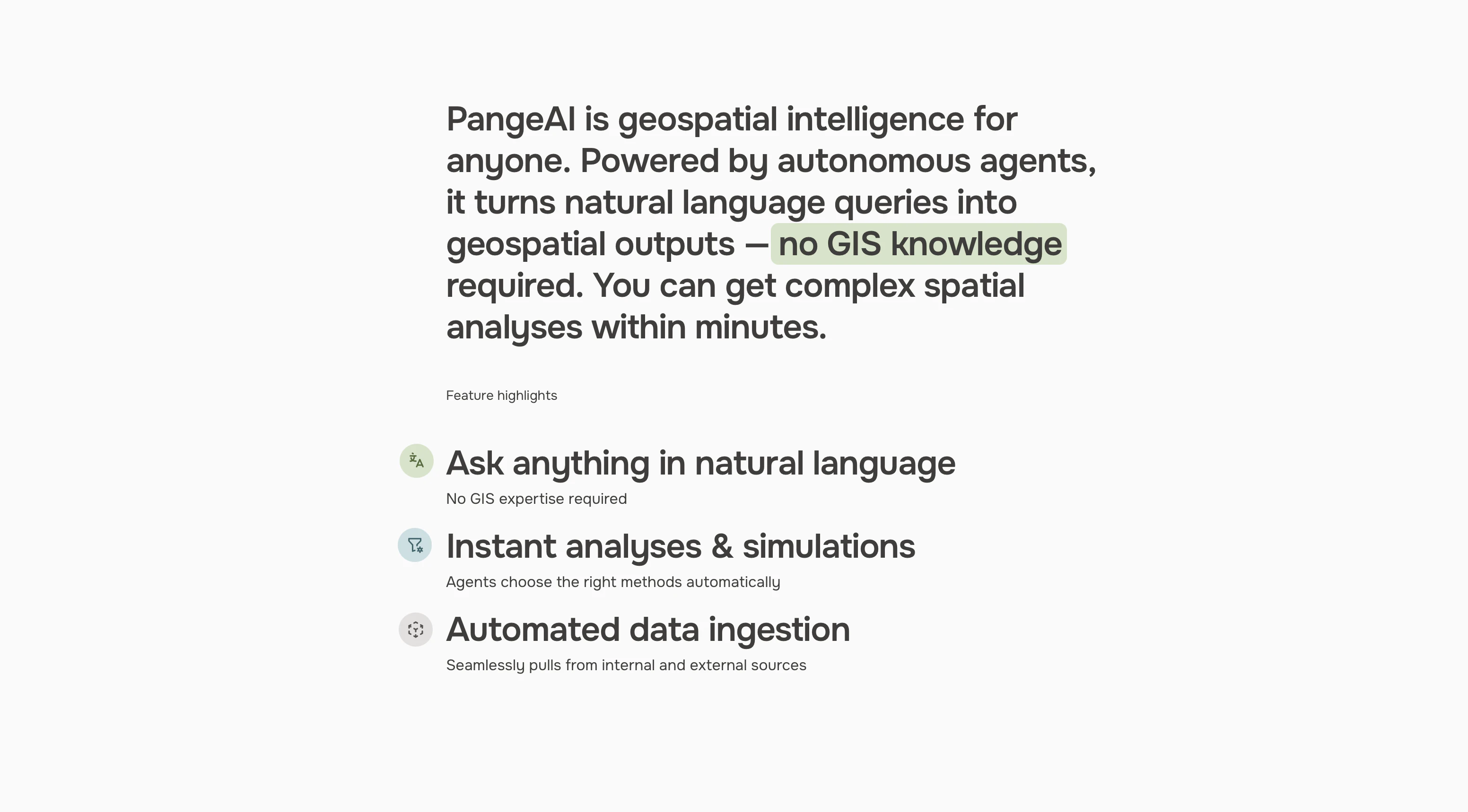
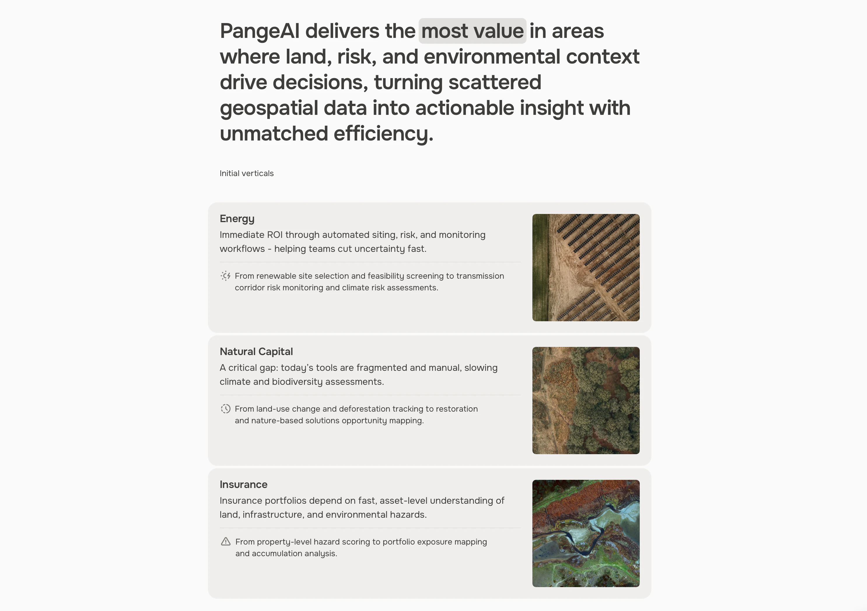
PangeAI is an agentic layer over geospatial data: satellite imagery, vector geometries, coordinate systems. You can answer physical-world questions without a GIS team. "Which of my 400 sites flooded last month?" Minutes, not weeks. Built between Silicon Valley and Europe
截图
?
还没有评论,来抢沙发吧!
X 上关于 PangeAI 的真实讨论
去 X 发帖