


什麼是 TrailSmoke?
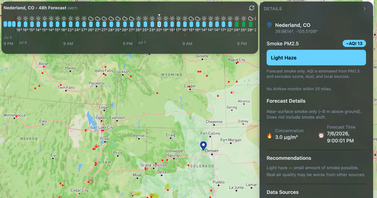
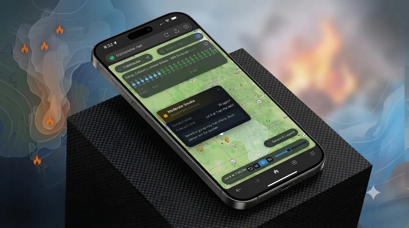
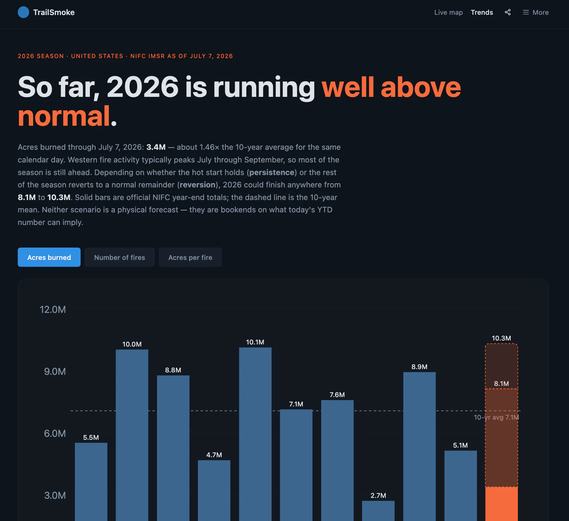
Typical wildfire and smoke maps are static for the current time only. TrailSmoke serves beautiful 48-hour NOAA HRRR smoke forecasts, animations, and wildfire locations across the USA so you can map avoid getting smoked out on your next cycling, running, hiking, or whatever outdoor trip.
截圖
?
還沒有評論,來搶沙發吧!
X 上關於 TrailSmoke 的真實討論
去 X 發文