


什麼是 PyTerrainMap?
Multi-robot teams exploring the same environment Surveillance systems that need spatial anomaly detection Disaster response (search & rescue, structural assessment) Infrastructure inspection (factories, buildings, plants) Environmental monitoring (agriculture, ecology, urban planning) Teams that benefit: Swarm robotics, drone fleets, autonomous vehicles, IoT gadgets with wheels or legs.
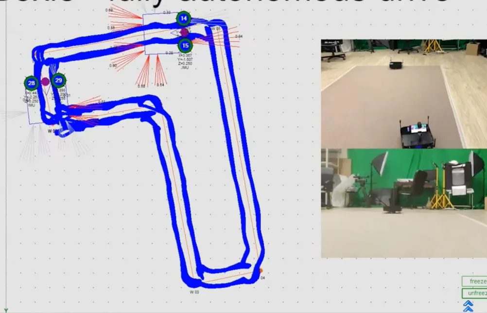
截圖
?
還沒有評論,來搶沙發吧!
X 上關於 PyTerrainMap 的真實討論
去 X 發文