


kml-earthworks
Fast terrain and earthworks analysis from Google Earth KML
什麼是 kml-earthworks?
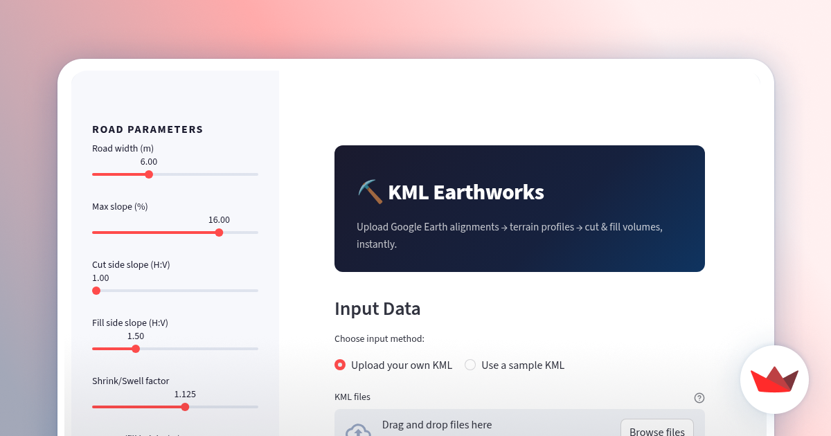
Draw an access road in Google Earth, export the KML and upload it here. The app enriches the path with elevation data, generates a terrain longitudinal profile and automatically estimates cut and fill volumes for earthworks. Built with Python and Streamlit to quickly evaluate road alignment feasibility and earthmoving effort directly from simple geospatial inputs.
演示
截圖
?
還沒有評論,來搶沙發吧!
X 上關於 kml-earthworks 的真實討論
去 X 發文