


kml-earthworks
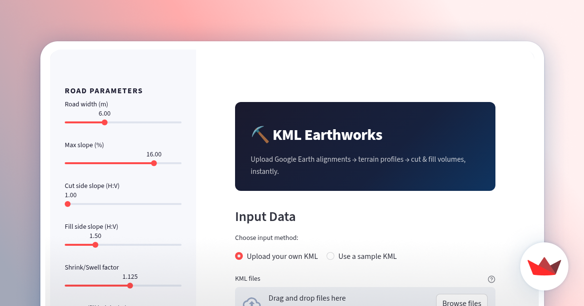
Fast terrain and earthworks analysis from Google Earth KML
¿Qué es kml-earthworks?
Draw an access road in Google Earth, export the KML and upload it here. The app enriches the path with elevation data, generates a terrain longitudinal profile and automatically estimates cut and fill volumes for earthworks. Built with Python and Streamlit to quickly evaluate road alignment feasibility and earthmoving effort directly from simple geospatial inputs.
Demo
Capturas de pantalla
?
Aún no hay comentarios. ¡Sé el primero!
Conversaciones reales sobre kml-earthworks en X
Publicar en X