

AxisTrack 이란?
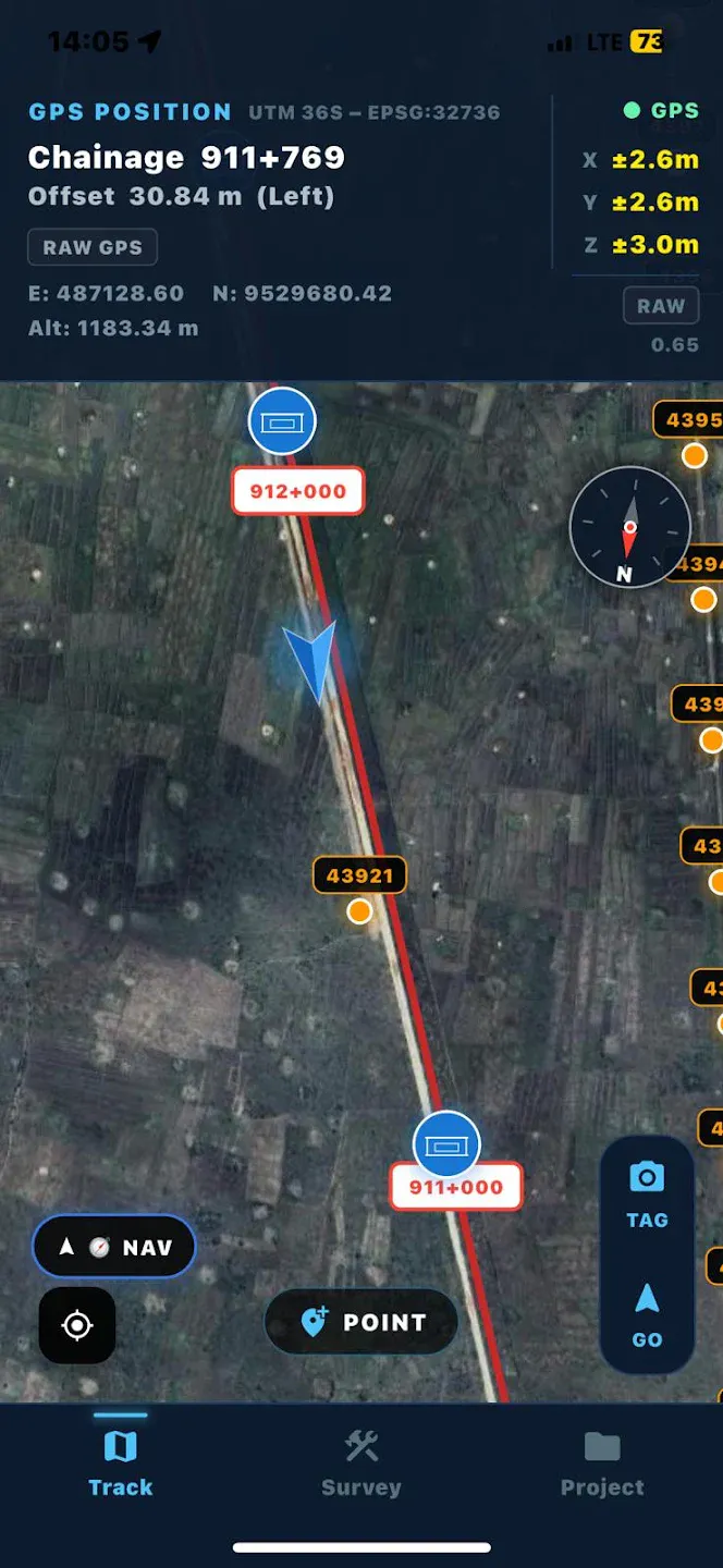
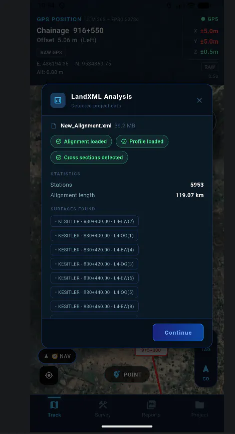
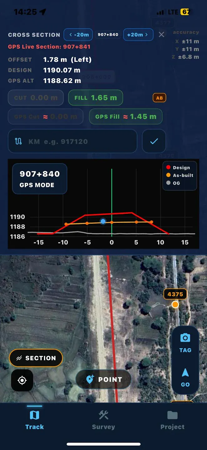
AxisTrack is a mobile GIS and surveying tool for engineers working in the field. Measure distances, perform cut & fill analysis, and manage geospatial data directly from your phone. Built for fast and simple field workflows. Uses standard smartphone GPS and is intended for informational use, not high-precision surveying.
스크린샷
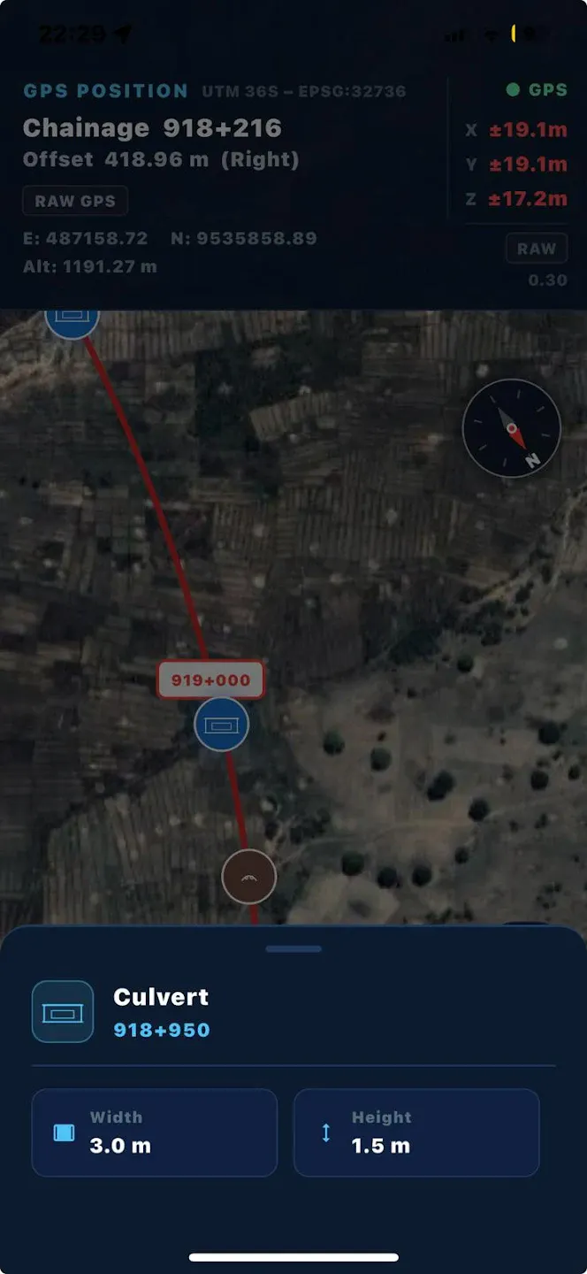
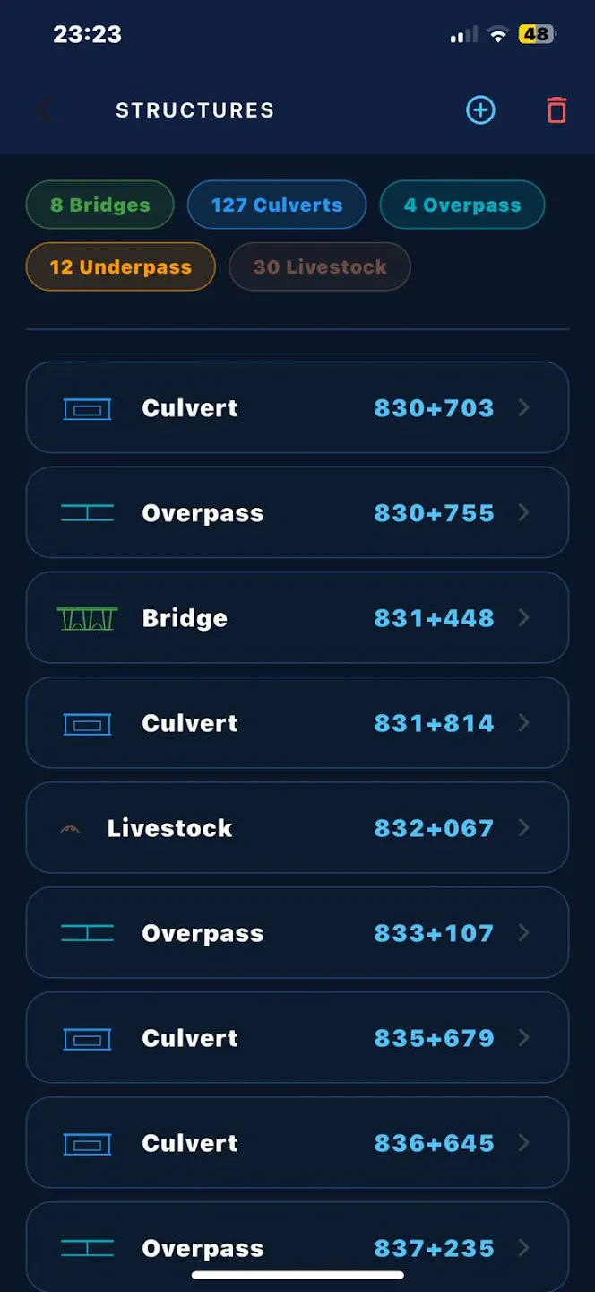
?
아직 댓글이 없어요. 가장 먼저 남겨보세요!
AxisTrack 에 대한 X의 실제 대화
X에 게시