


TrailSmoke이란?
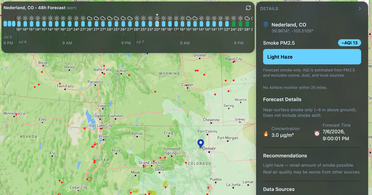
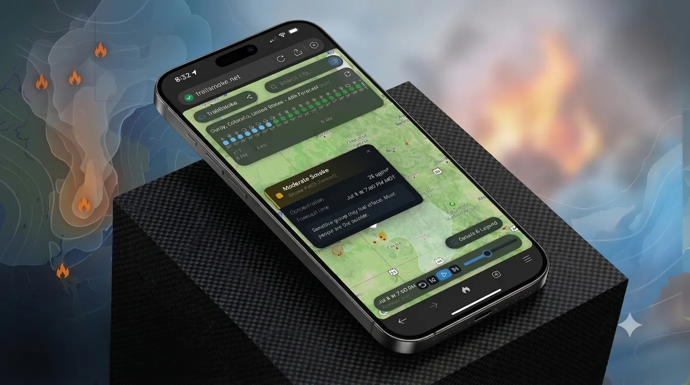
Typical wildfire and smoke maps are static for the current time only. TrailSmoke serves beautiful 48-hour NOAA HRRR smoke forecasts, animations, and wildfire locations across the USA so you can map avoid getting smoked out on your next cycling, running, hiking, or whatever outdoor trip.
스크린샷
?
아직 댓글이 없어요. 가장 먼저 남겨보세요!
TrailSmoke에 대한 X의 실제 대화
X에 게시