


topograph이란?
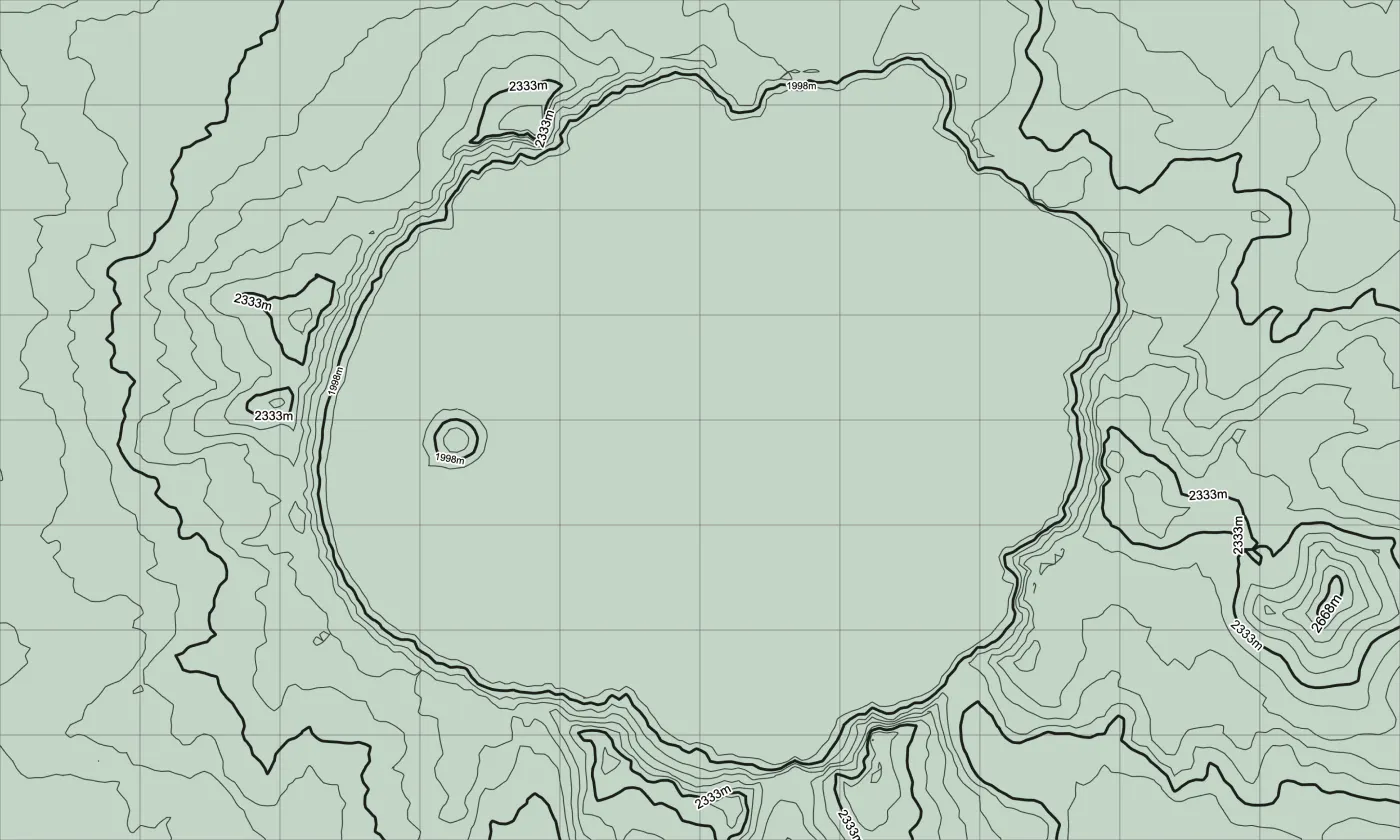
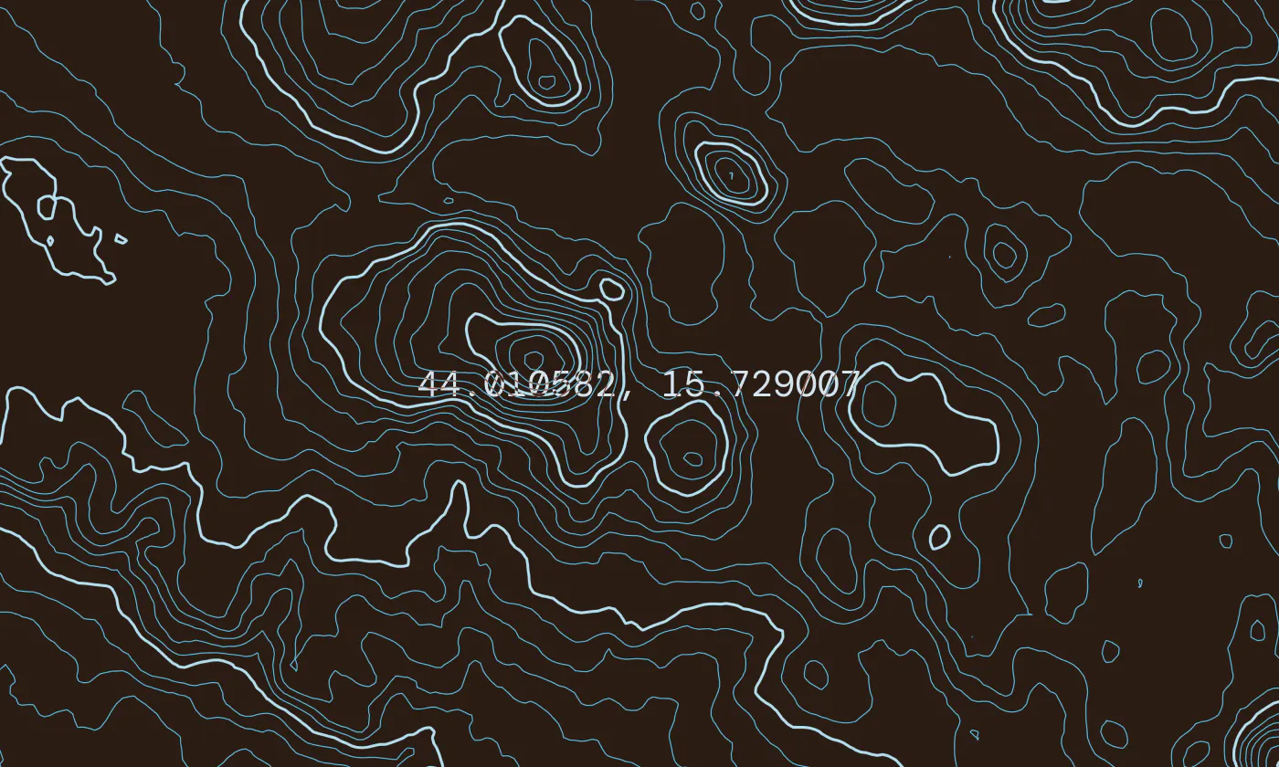
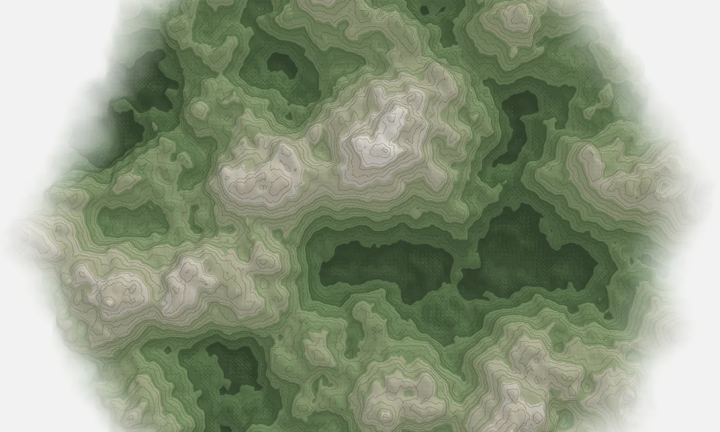
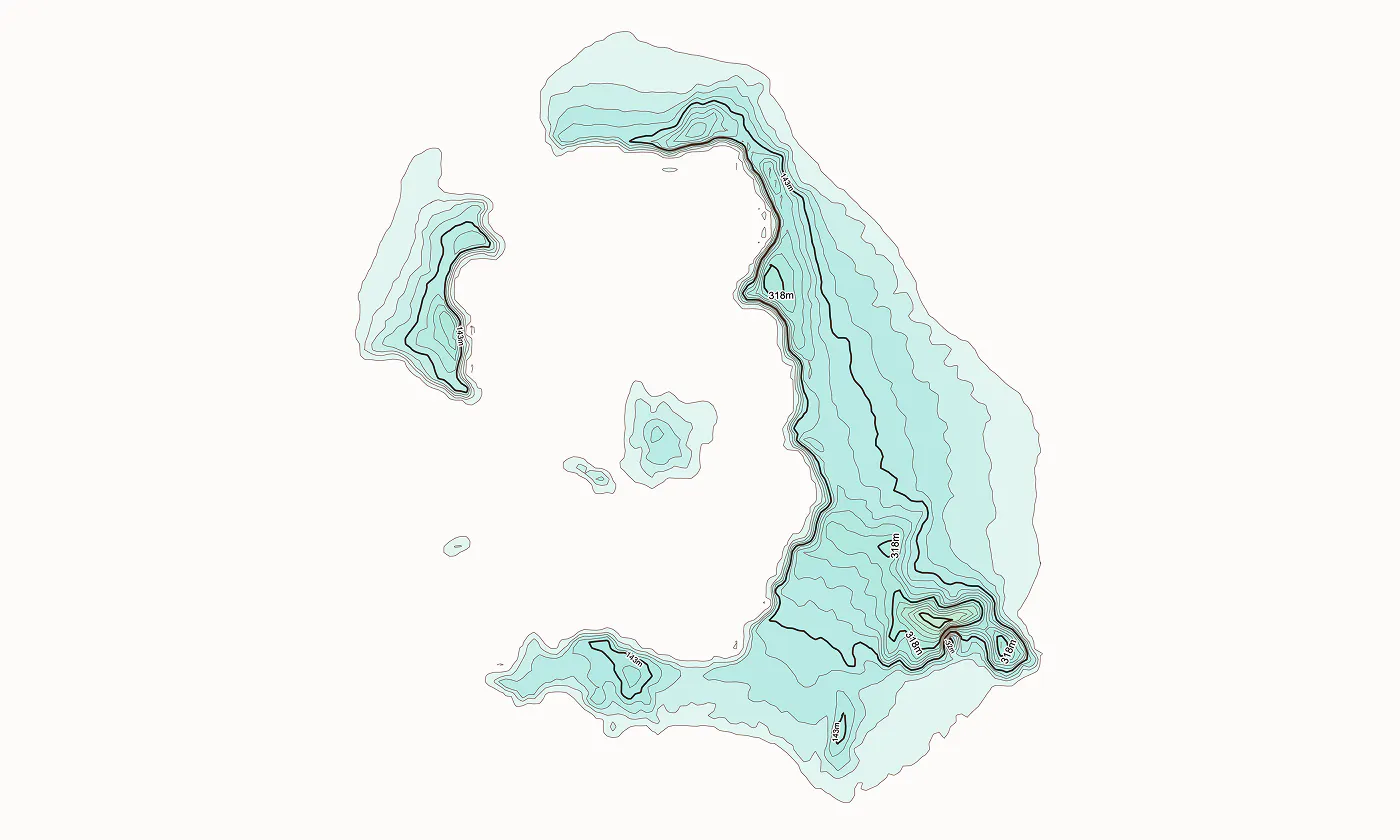
Topograph turns real elevation data into clean, customizable topographic graphics. Generate from data, upload your own sources, or search any location. Adjust contour density, styles, and color, then export as SVG, PNG, PDF, GeoJSON, DXF, or STL. Runs client-side. Free to explore. One-time license unlocks high-resolution export, batch processing, video, and shaders.
스크린샷
?
아직 댓글이 없어요. 가장 먼저 남겨보세요!
topograph에 대한 X의 실제 대화
X에 게시