

STREAM Terrain Modeling & Analysis
Open gigabyte terrain data and compute volumes
STREAM Terrain Modeling & Analysis이란?
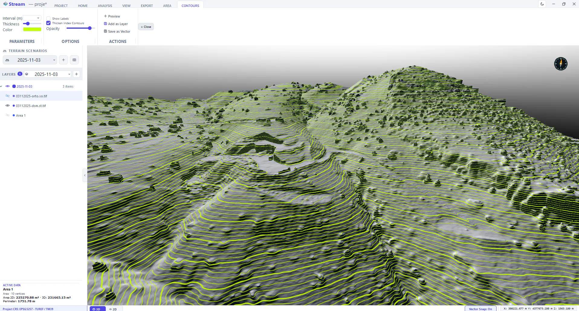
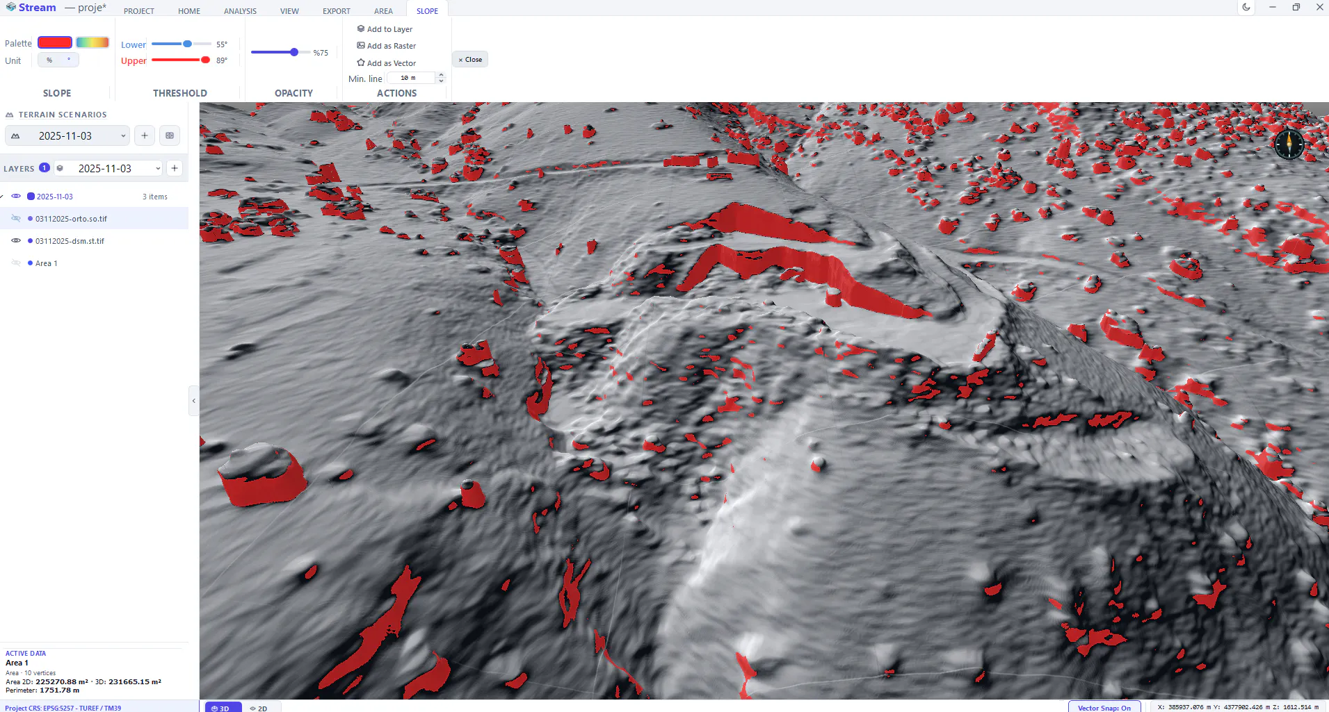
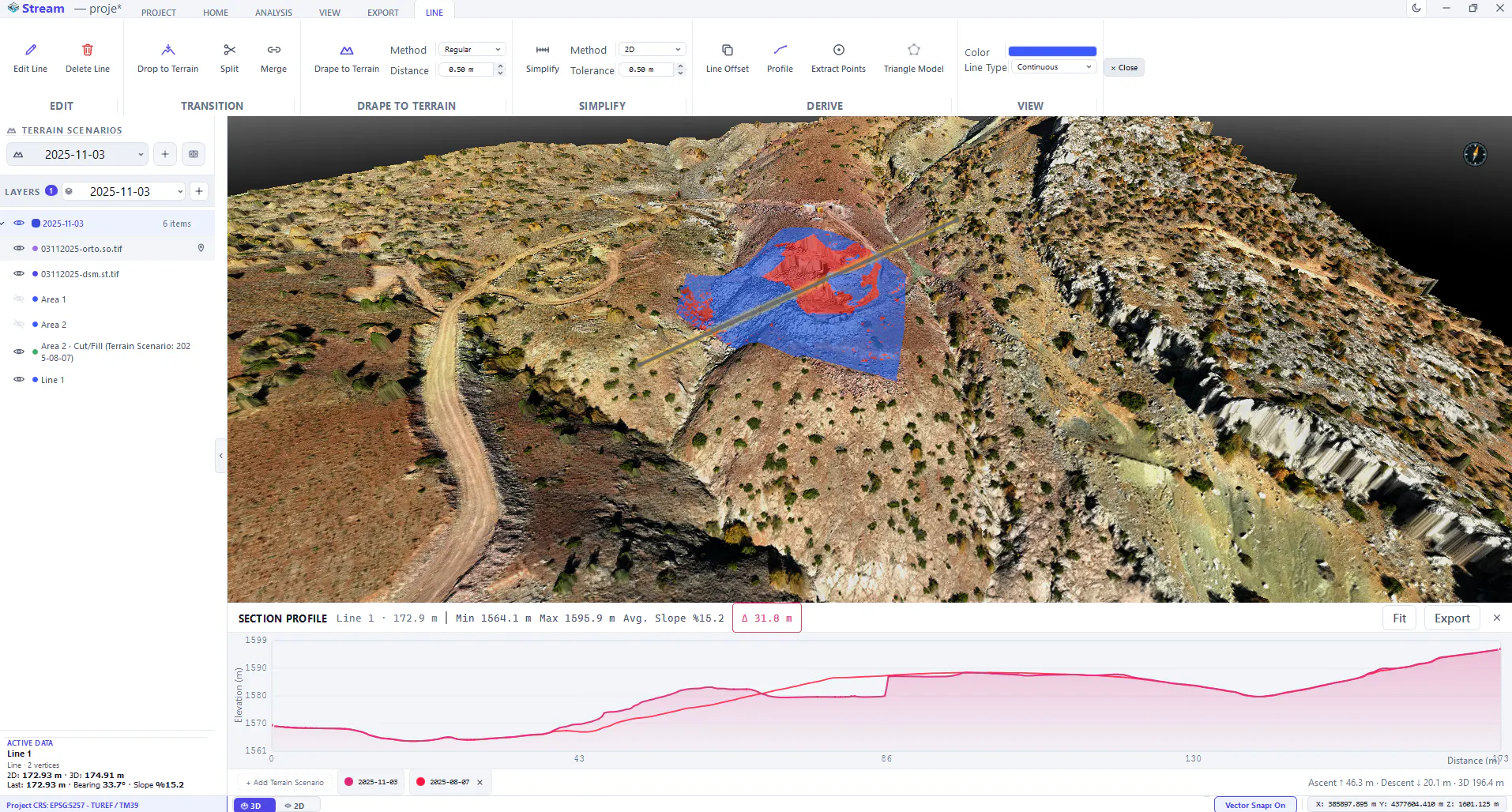
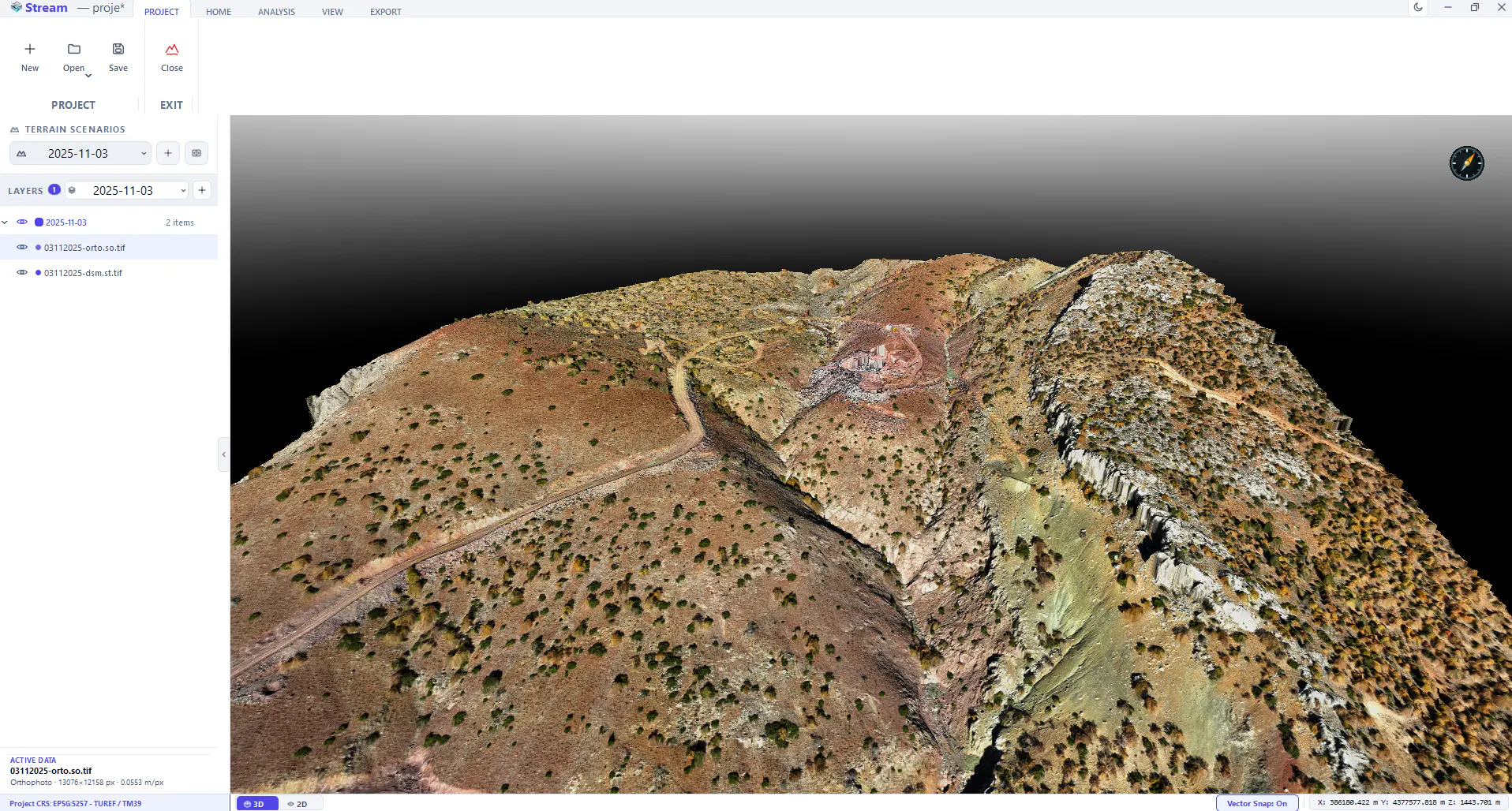
STREAM is a native Windows app for engineers who work with terrain. Survey data got huge — a single site DEM or point cloud can be gigabytes. STREAM streams it out-of-core and renders on the GPU, so it opens instantly and stays responsive. From there you get the deliverables: cut/fill volumes, cross-section cubature with DXF drawings, stockpile tonnage with PDF reports, contours, hydrology, sun & shadow and change detection. Fully offline — your data never leaves your machine.
스크린샷
?
아직 댓글이 없어요. 가장 먼저 남겨보세요!
STREAM Terrain Modeling & Analysis에 대한 X의 실제 대화
X에 게시