


PyTerrainMap이란?
Multi-robot teams exploring the same environment Surveillance systems that need spatial anomaly detection Disaster response (search & rescue, structural assessment) Infrastructure inspection (factories, buildings, plants) Environmental monitoring (agriculture, ecology, urban planning) Teams that benefit: Swarm robotics, drone fleets, autonomous vehicles, IoT gadgets with wheels or legs.
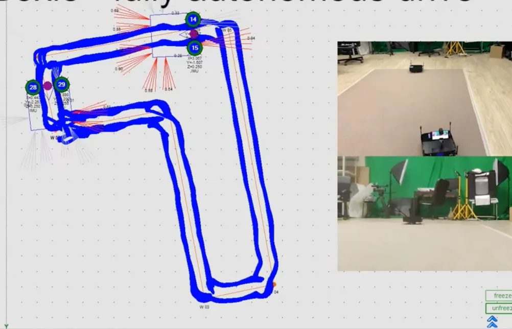
스크린샷
?
아직 댓글이 없어요. 가장 먼저 남겨보세요!
PyTerrainMap에 대한 X의 실제 대화
X에 게시