


PangeAI
Instant, agent-driven spatial analysis and decision-making
PangeAI이란?
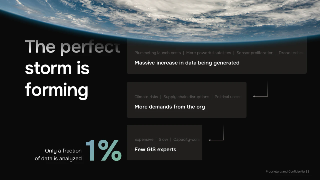
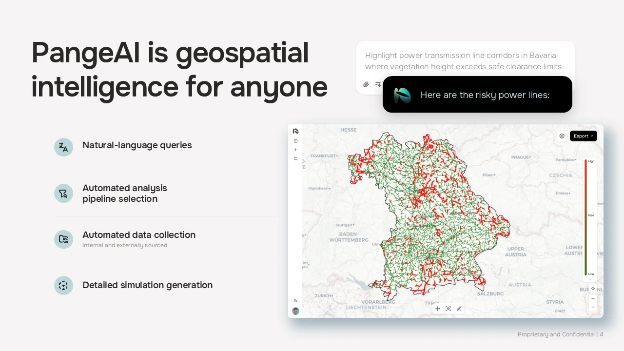
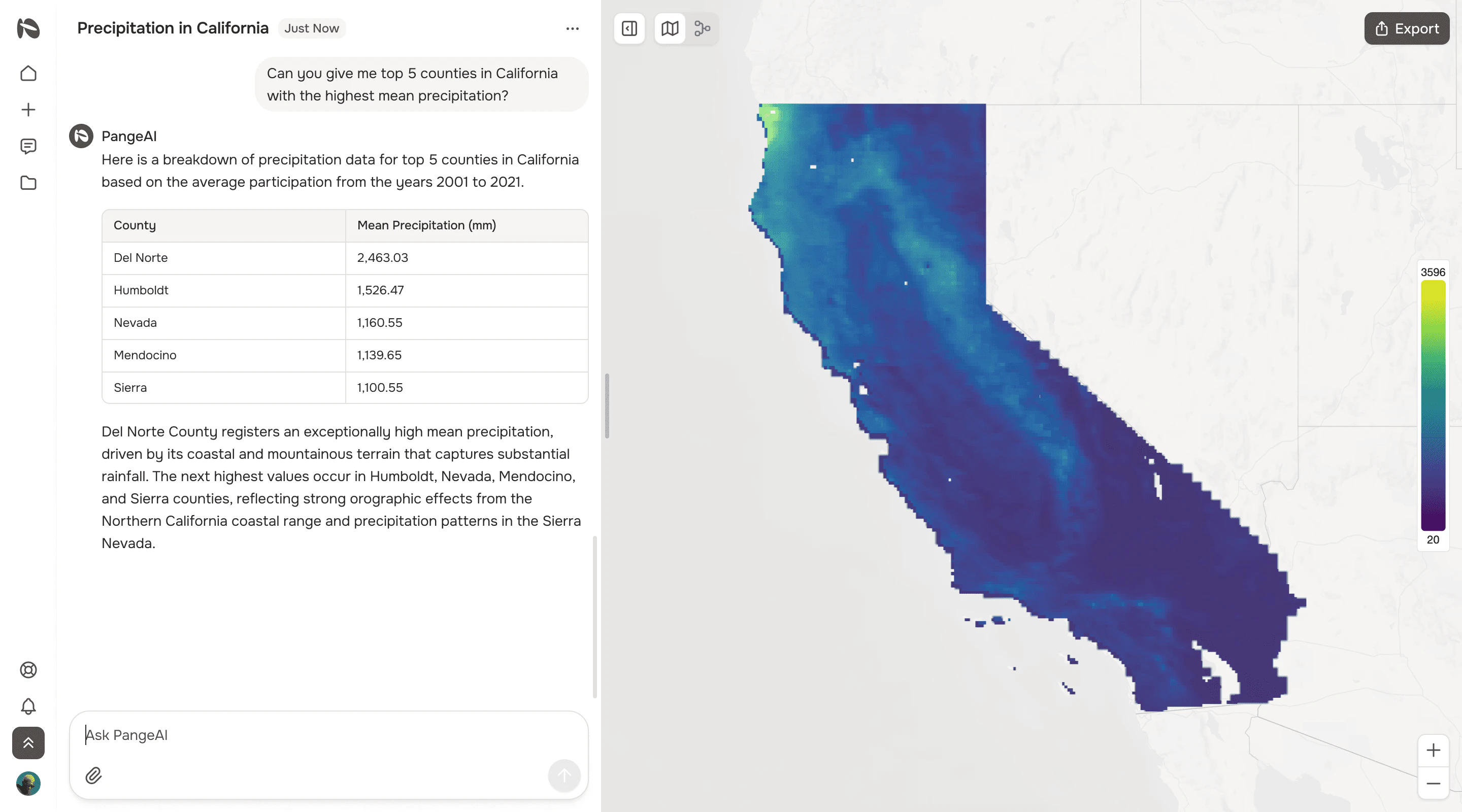
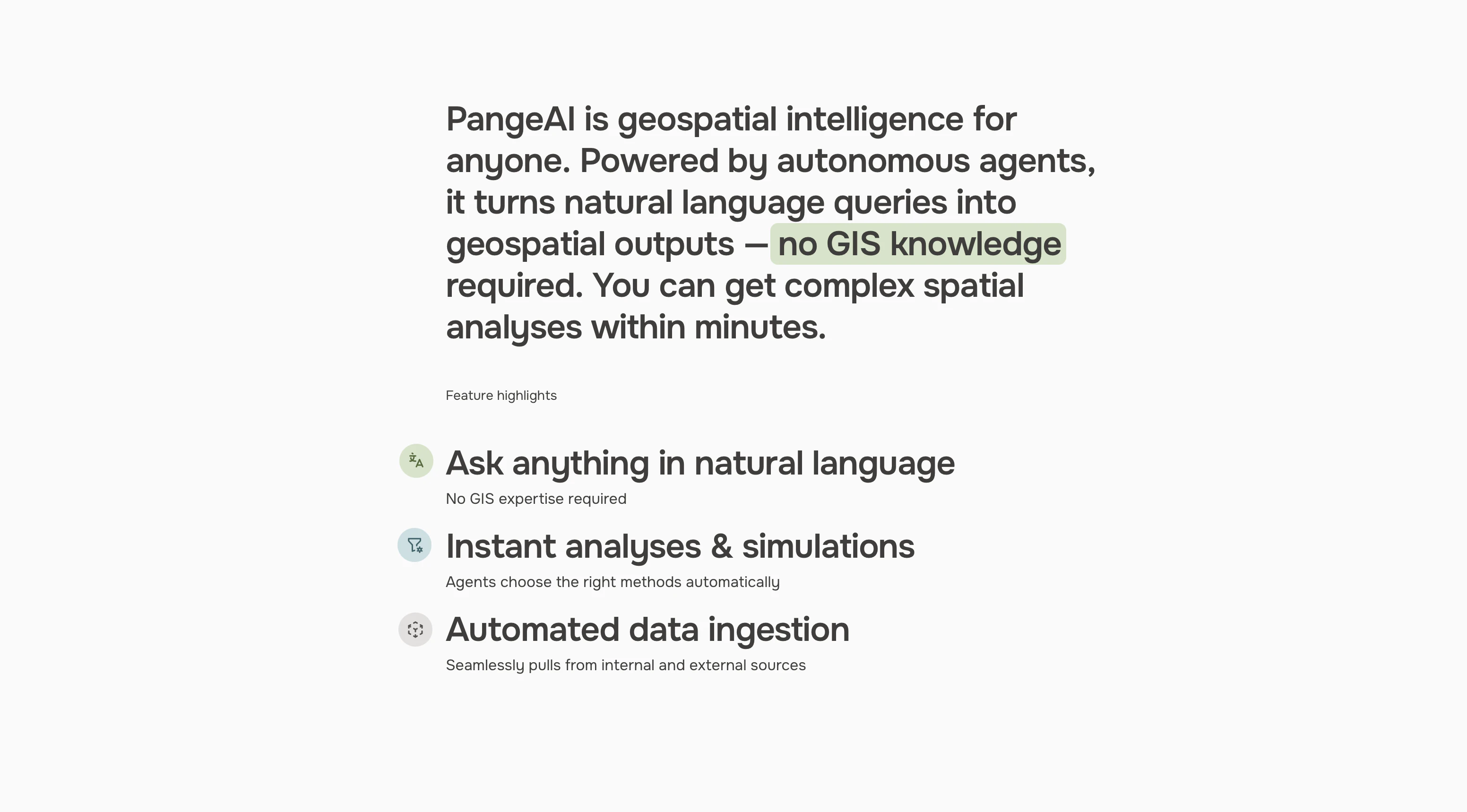
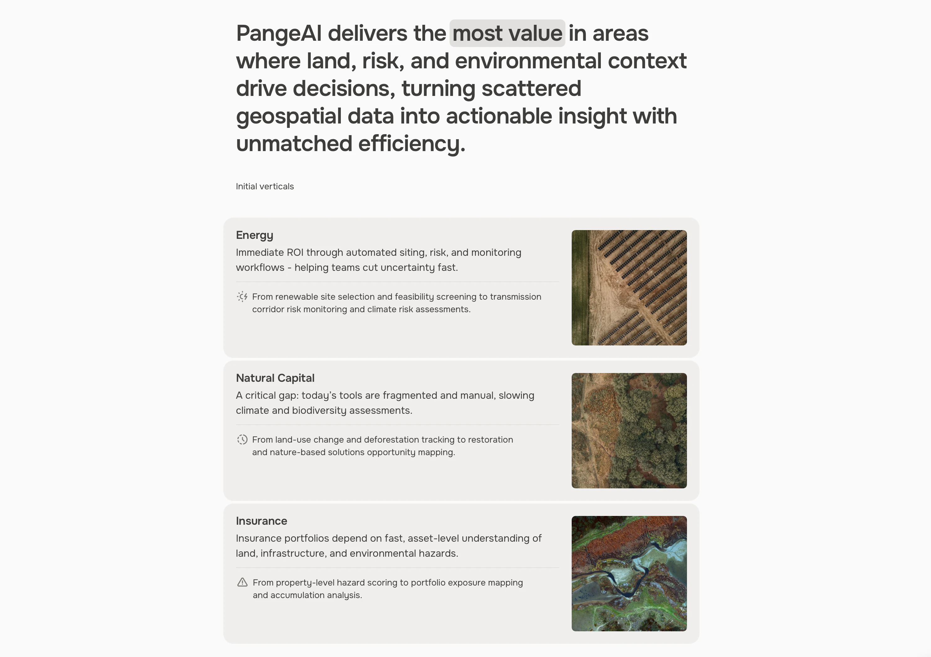
PangeAI is an agentic layer over geospatial data: satellite imagery, vector geometries, coordinate systems. You can answer physical-world questions without a GIS team. "Which of my 400 sites flooded last month?" Minutes, not weeks. Built between Silicon Valley and Europe
스크린샷
?
아직 댓글이 없어요. 가장 먼저 남겨보세요!
PangeAI에 대한 X의 실제 대화
X에 게시