


LandLens
UK planning intelligence in plain English, not map clicks
LandLens이란?
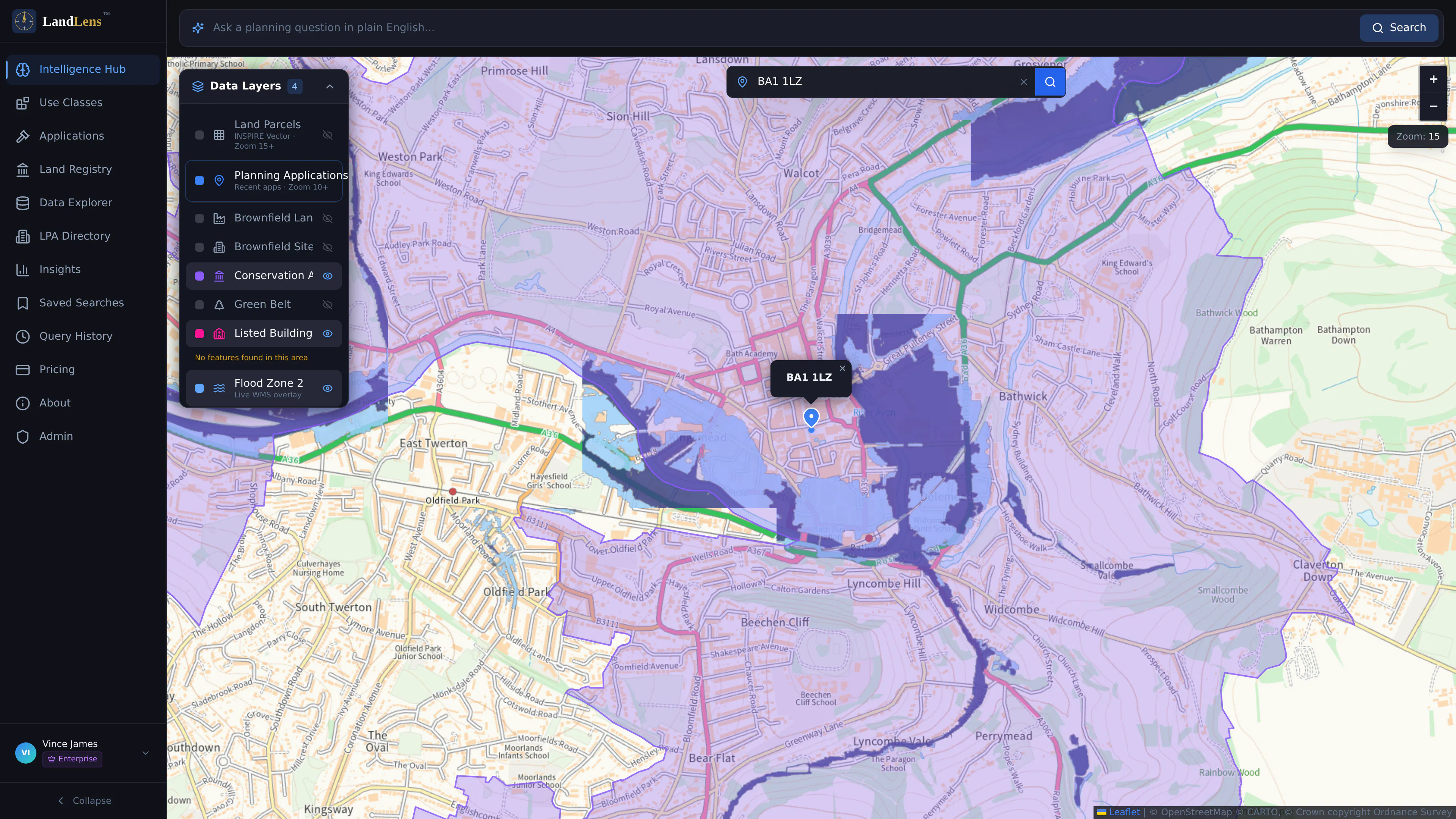
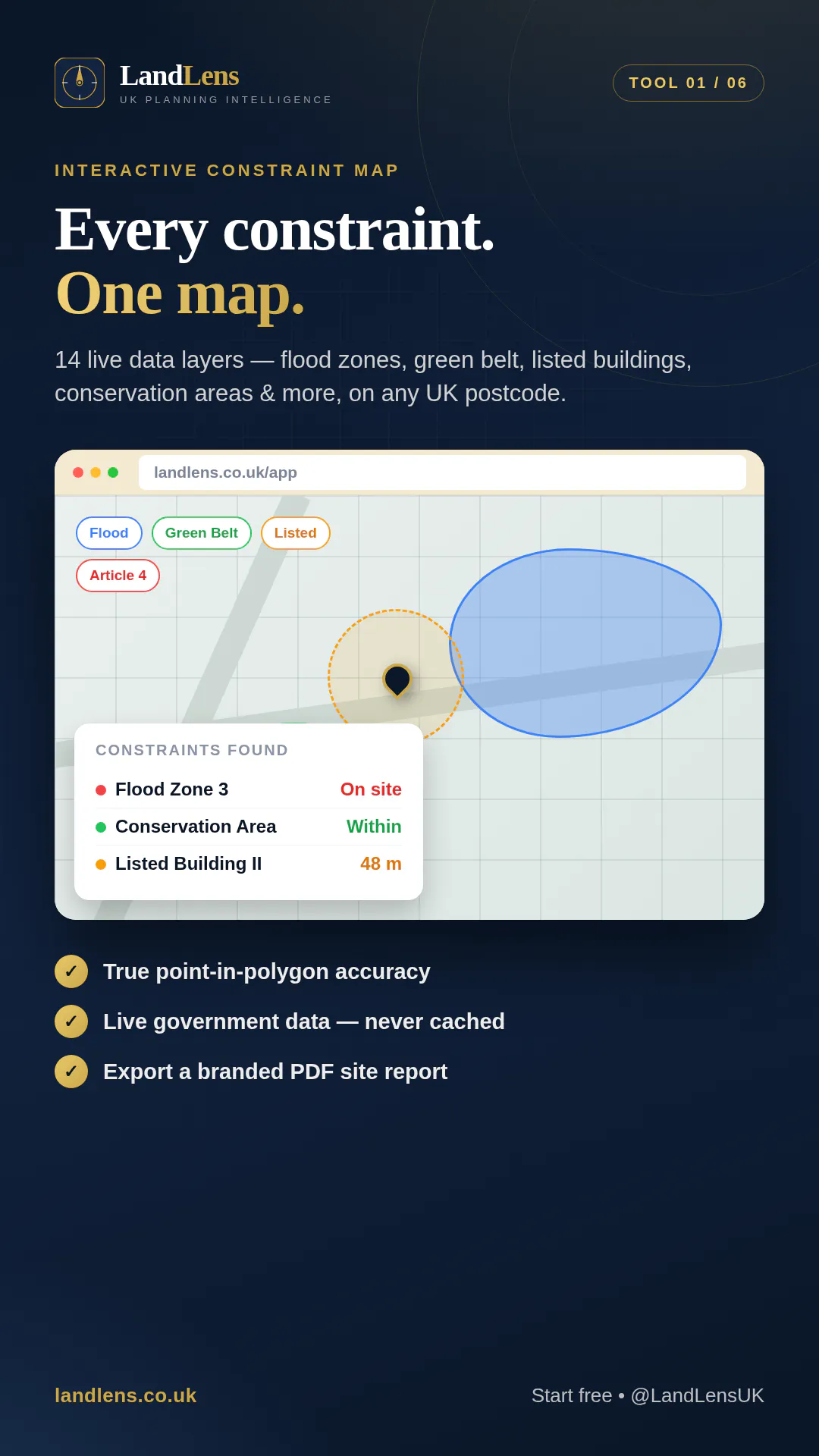
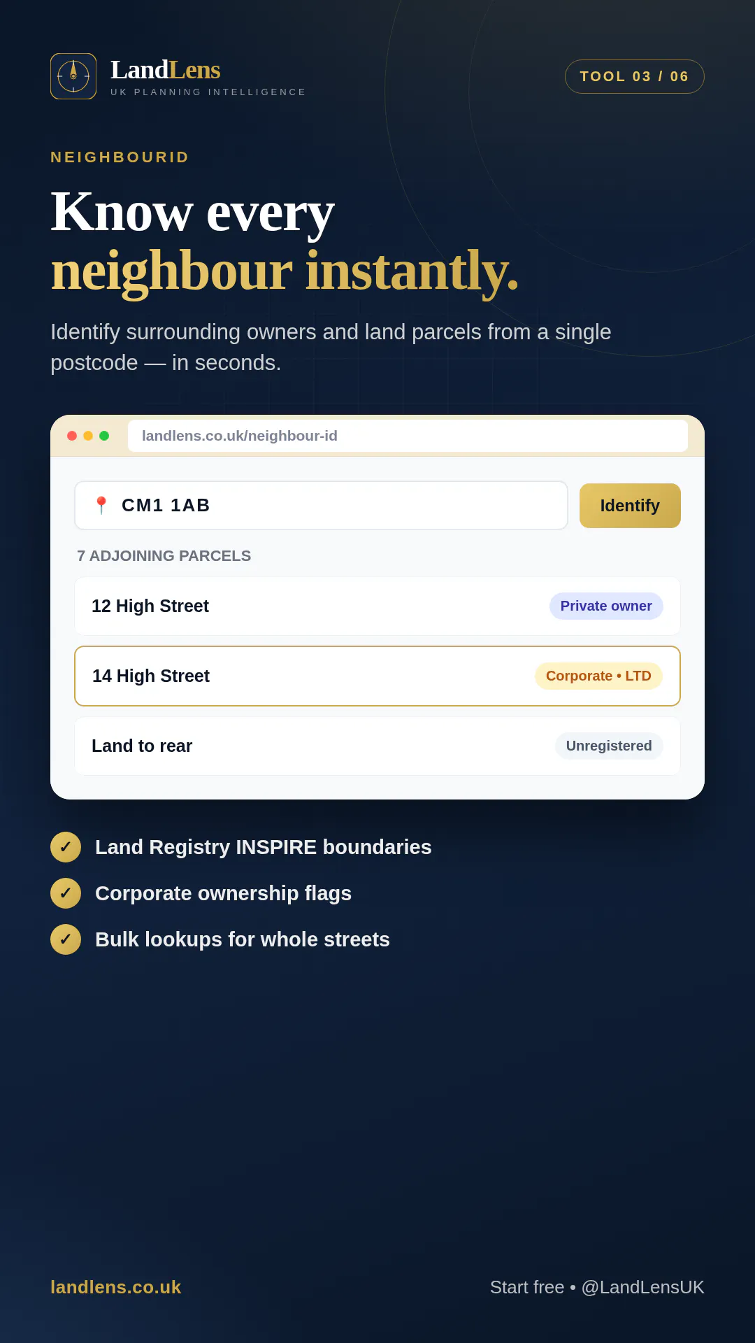
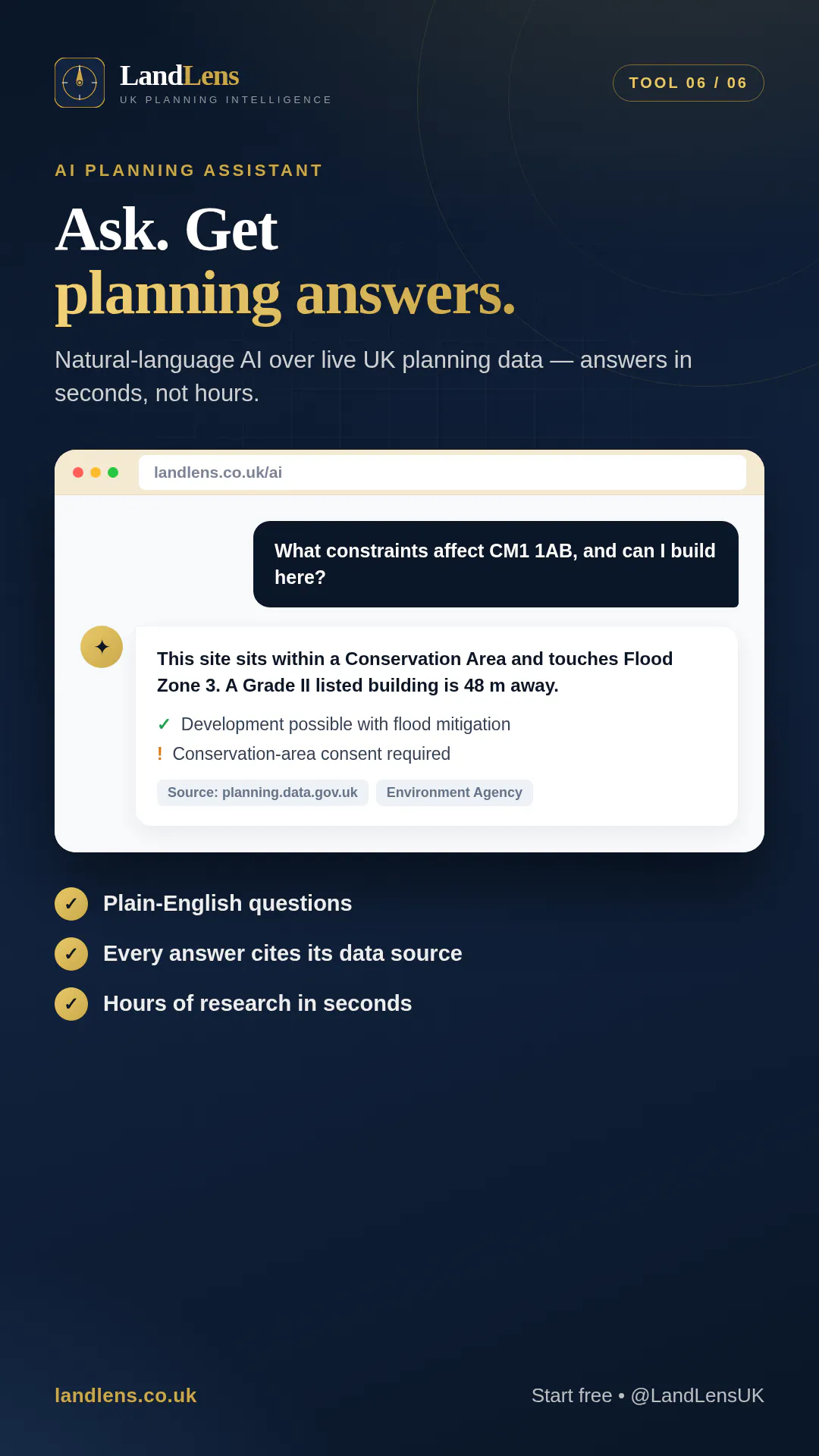
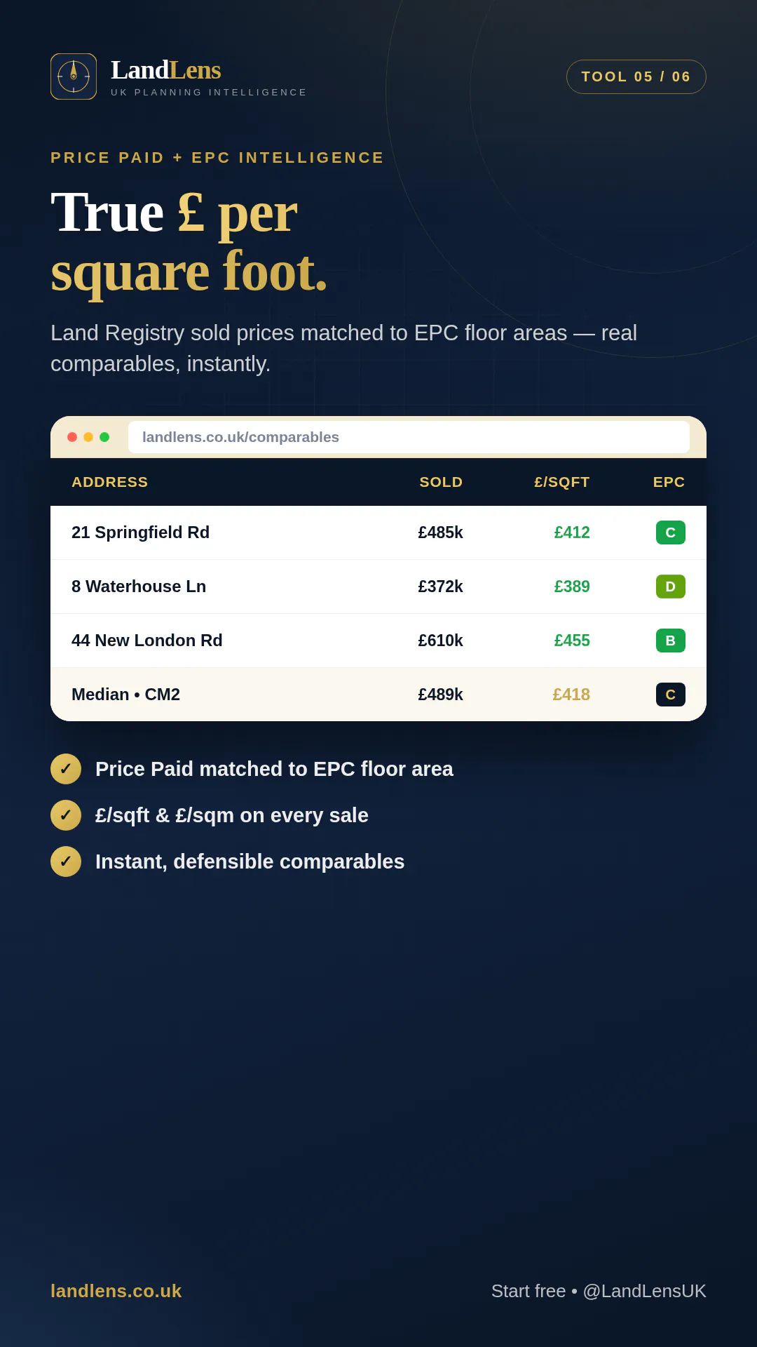
UK planning consultants still piece together site data manually — toggling GIS layers, cross-referencing LPA portals, pulling neighbour lists from OS maps by hand. LandLens replaces that with one search. Type a postcode and get constraint checks (flood, conservation, TPO, listed buildings, green belt + 7 more), adjoining owner identification, price-paid comparables, EPC data, and an AI planning assistant. Built for professionals who'd rather do feasibility than data gathering.
스크린샷
?
아직 댓글이 없어요. 가장 먼저 남겨보세요!
LandLens에 대한 X의 실제 대화
X에 게시