

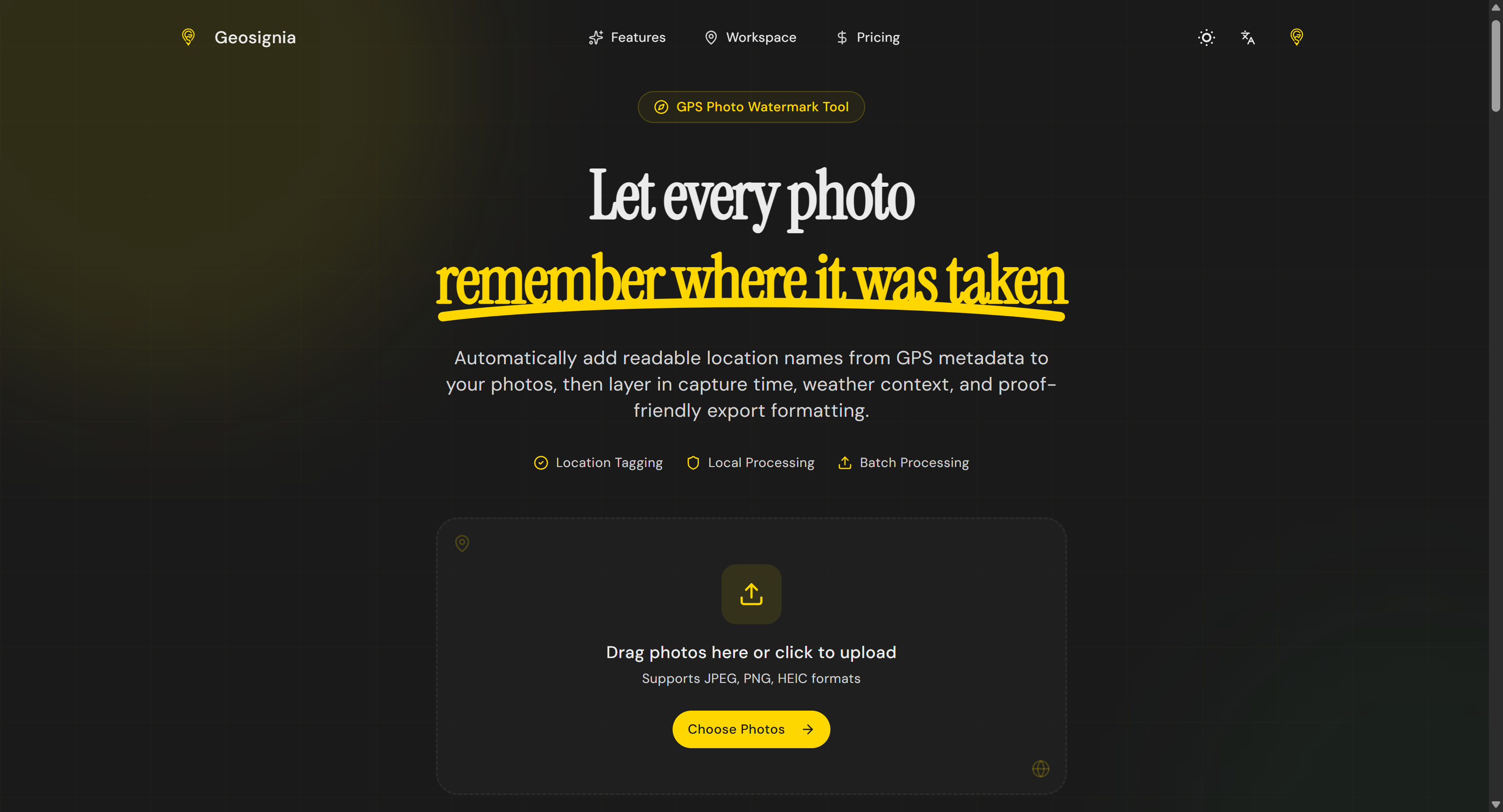

Geosignia이란?
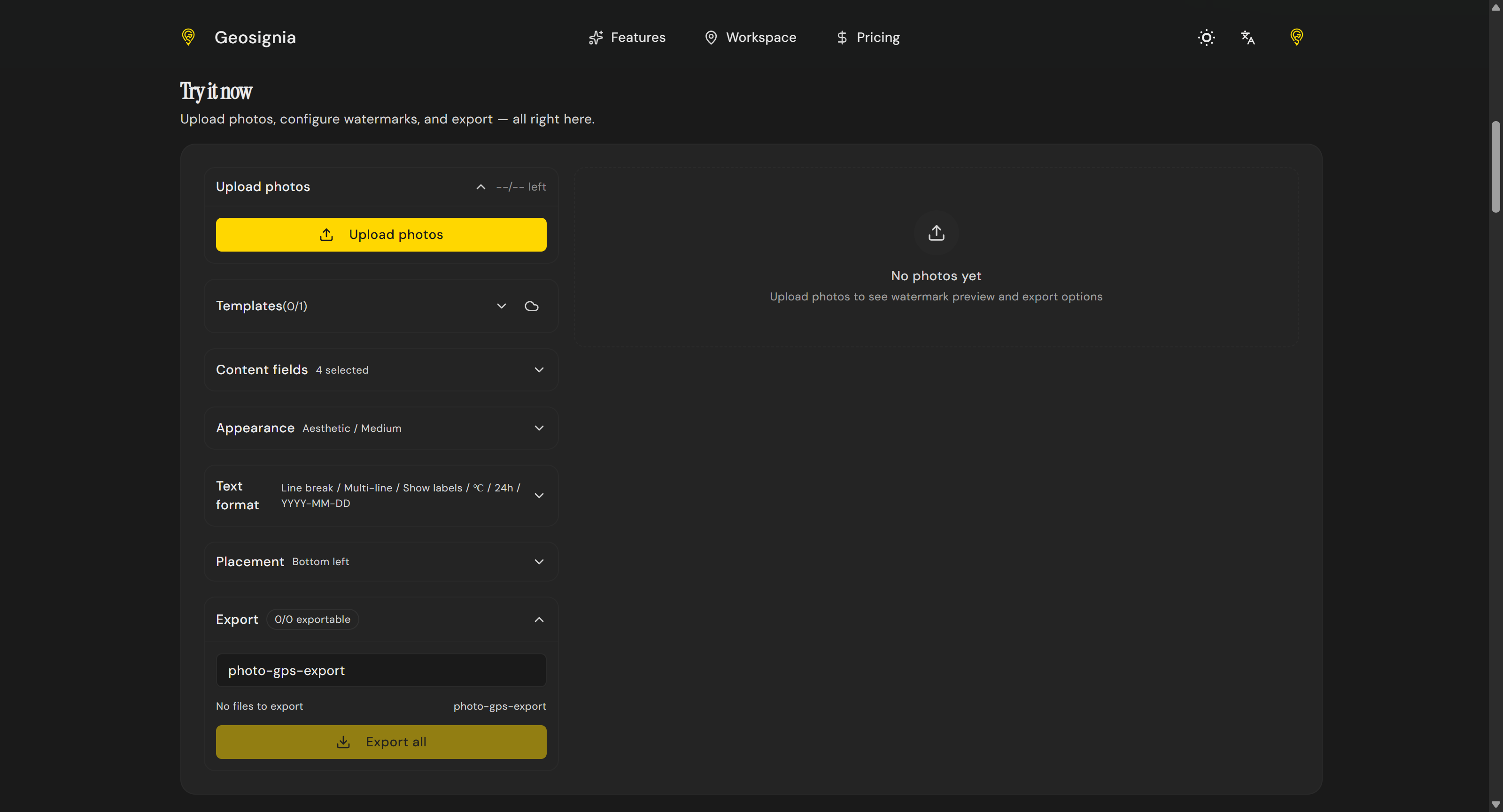
Geosignia turns hidden photo GPS metadata into readable overlays. Extract coordinates, convert them to place names, and apply custom watermarks with date, time, and weather context. Featuring batch processing and reusable templates, it is built for travel journals, outdoor documentation, and field teams needing proof-friendly imagery directly in the browser.
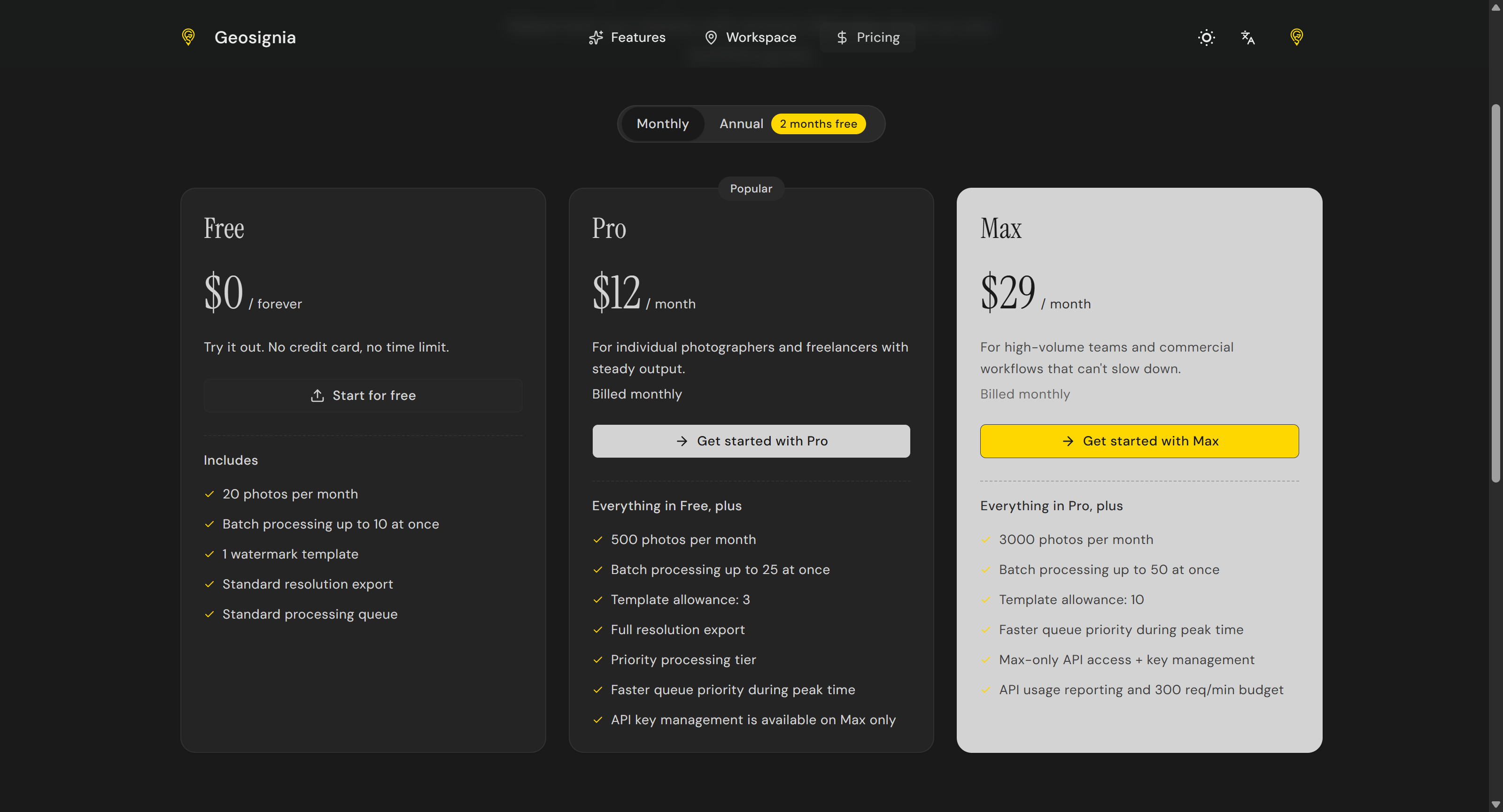
스크린샷
?
아직 댓글이 없어요. 가장 먼저 남겨보세요!
Geosignia에 대한 X의 실제 대화
X에 게시