


Fieldr studio이란?


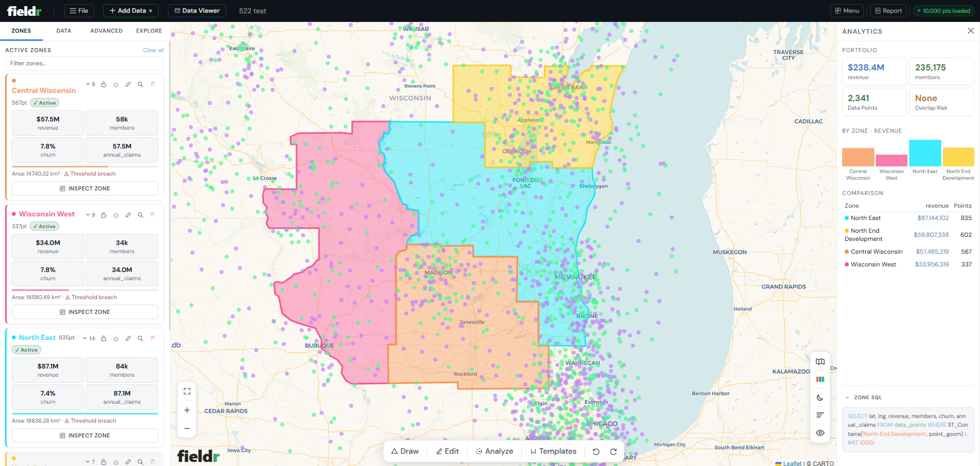
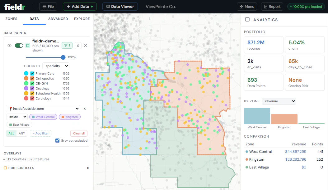
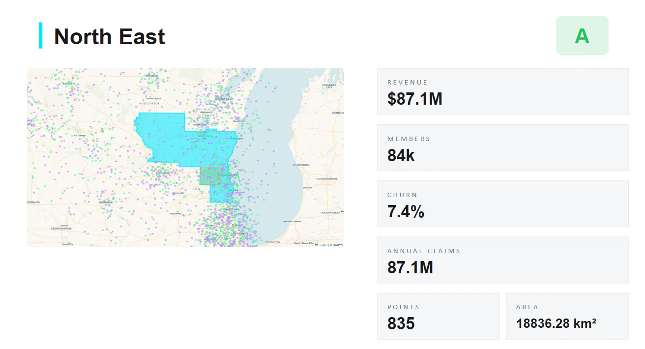
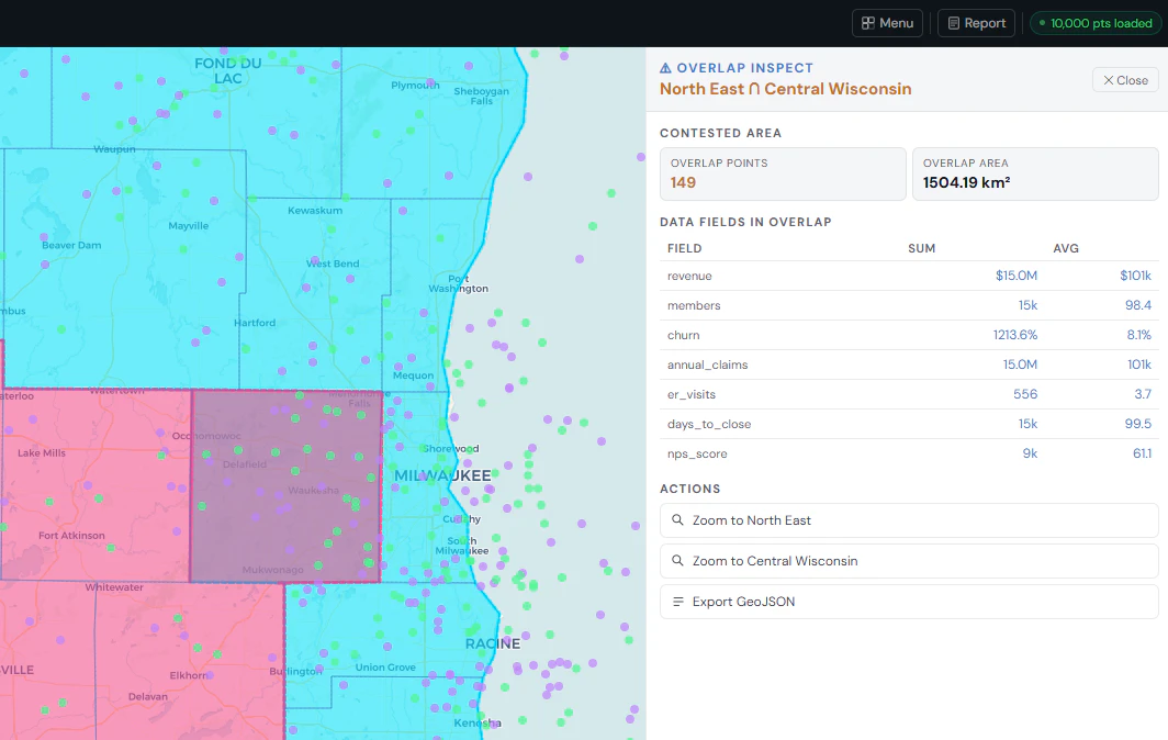
Fieldr replaces spreadsheet-based territory planning with an interactive spatial workspace. Upload a CSV, draw territories, and instantly see the data inside each zone. Metrics update live as boundaries change. Overlaps are detected automatically. Drive-time analysis uses real road networks. Reports and exports are one click. No GIS knowledge needed.
스크린샷
?
아직 댓글이 없어요. 가장 먼저 남겨보세요!
Fieldr studio에 대한 X의 실제 대화
X에 게시