


TrailSmoke とは?
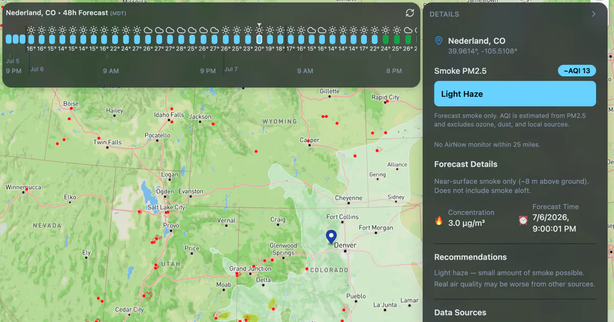
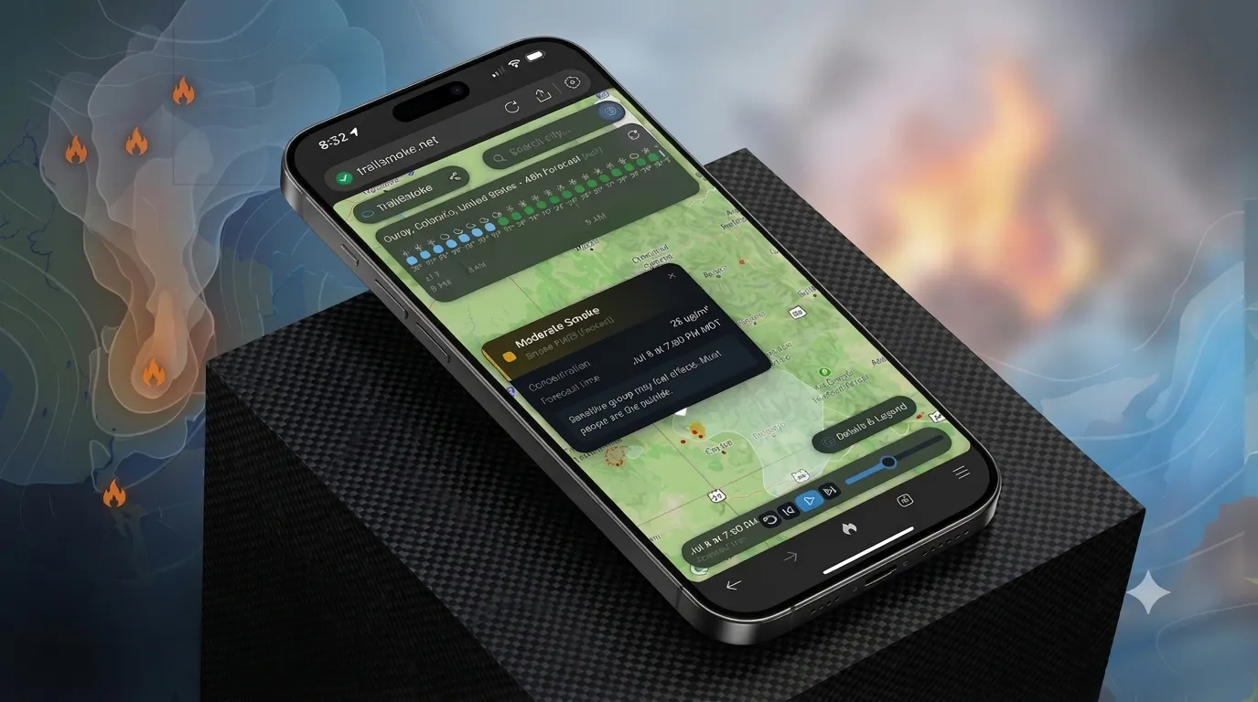
Typical wildfire and smoke maps are static for the current time only. TrailSmoke serves beautiful 48-hour NOAA HRRR smoke forecasts, animations, and wildfire locations across the USA so you can map avoid getting smoked out on your next cycling, running, hiking, or whatever outdoor trip.
スクリーンショット
?
まだコメントはありません。最初のひとりになりましょう!
TrailSmoke に関する X でのリアルな声
X に投稿