


topograph とは?
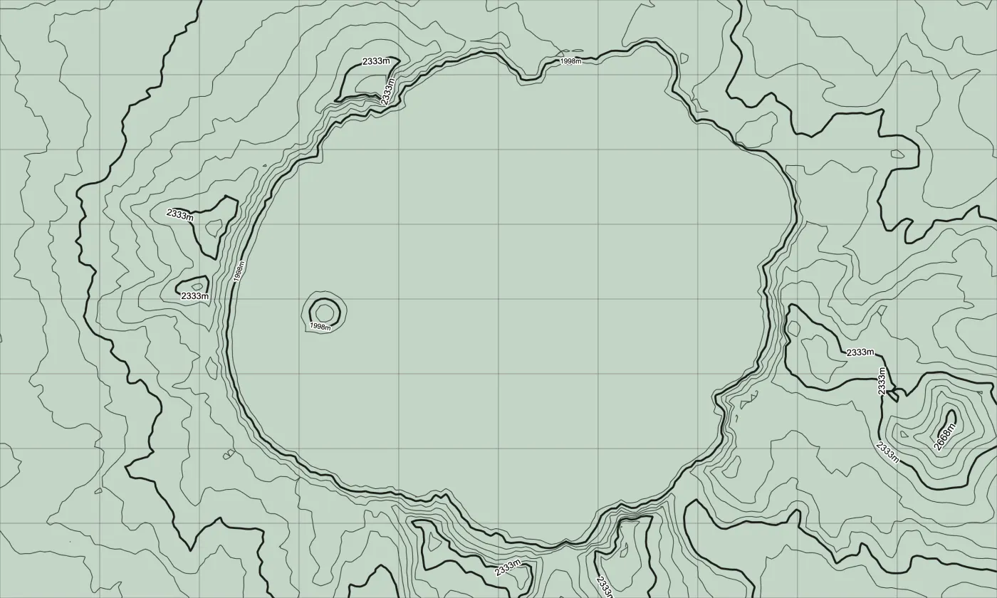
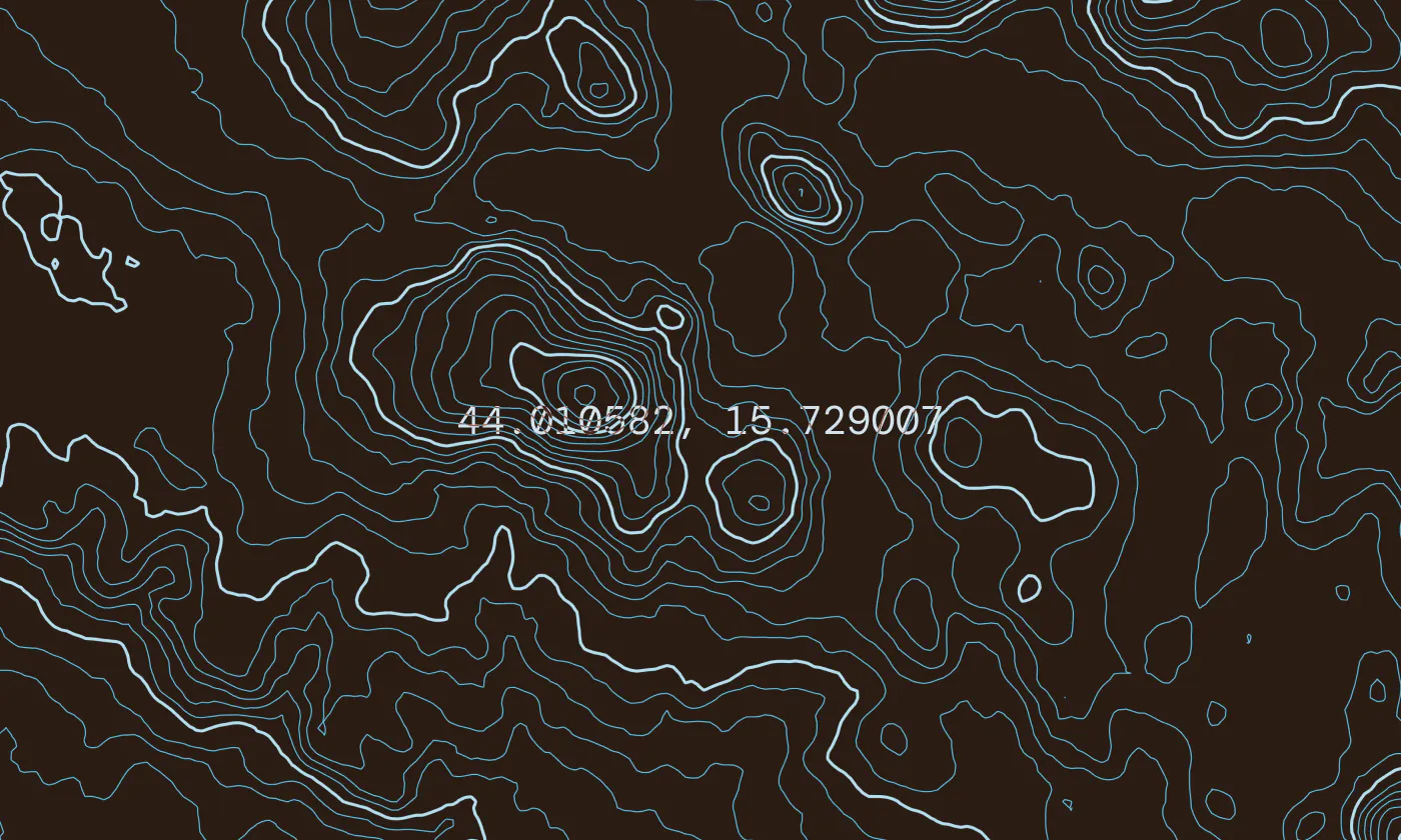
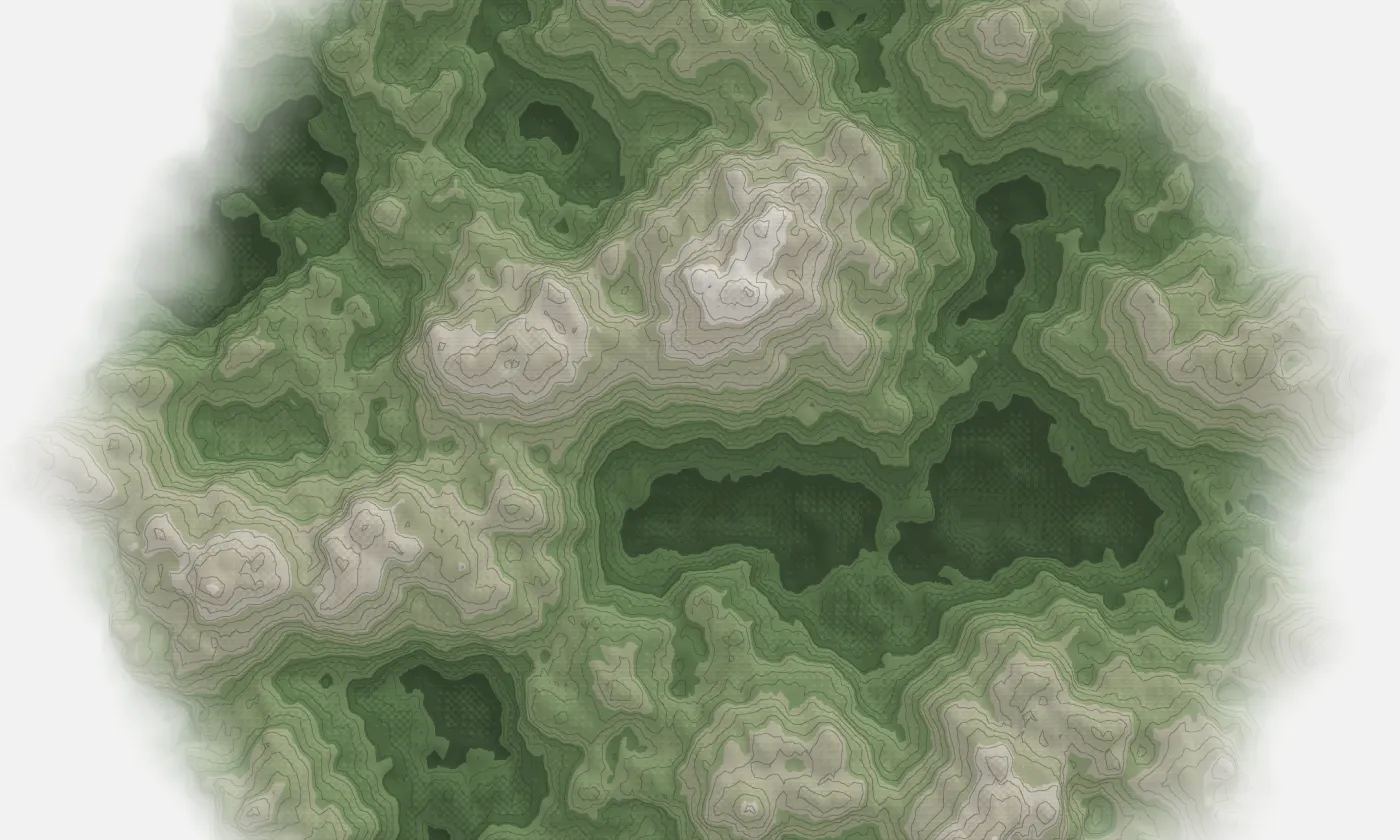
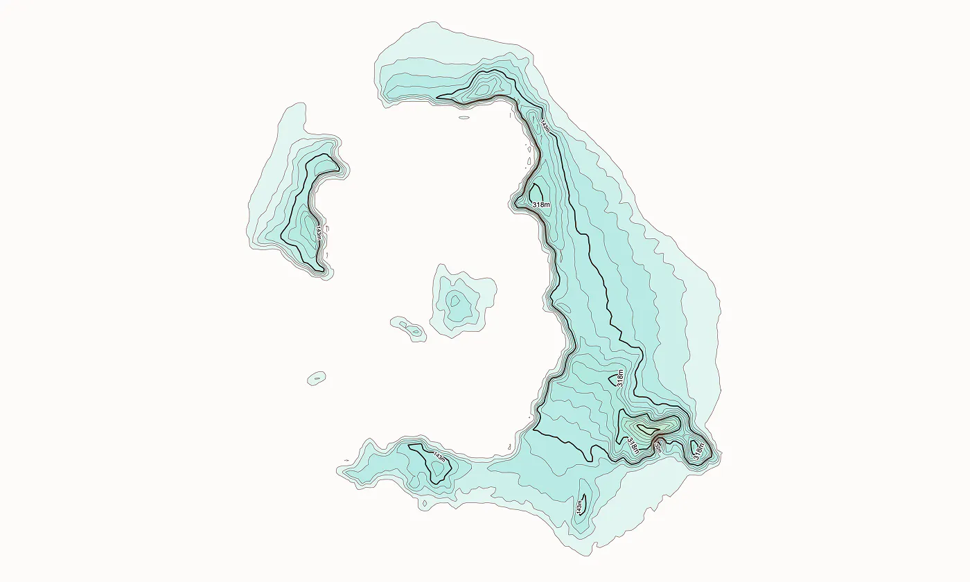
Topograph turns real elevation data into clean, customizable topographic graphics. Generate from data, upload your own sources, or search any location. Adjust contour density, styles, and color, then export as SVG, PNG, PDF, GeoJSON, DXF, or STL. Runs client-side. Free to explore. One-time license unlocks high-resolution export, batch processing, video, and shaders.
スクリーンショット
?
まだコメントはありません。最初のひとりになりましょう!
topograph に関する X でのリアルな声
X に投稿