


HooMap
Turn CSV & Excel coordinates into interactive maps
HooMap とは?
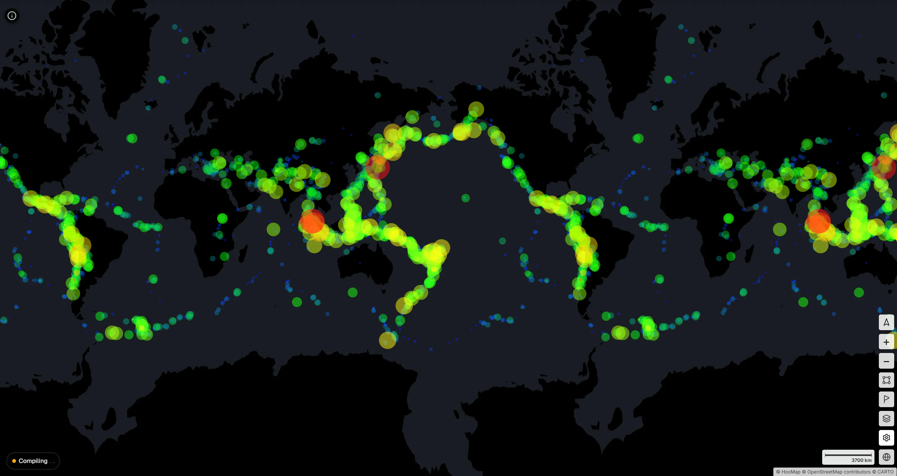
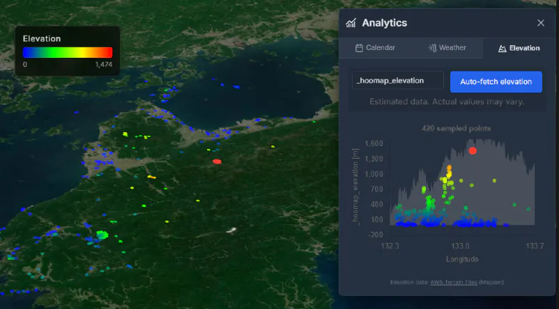
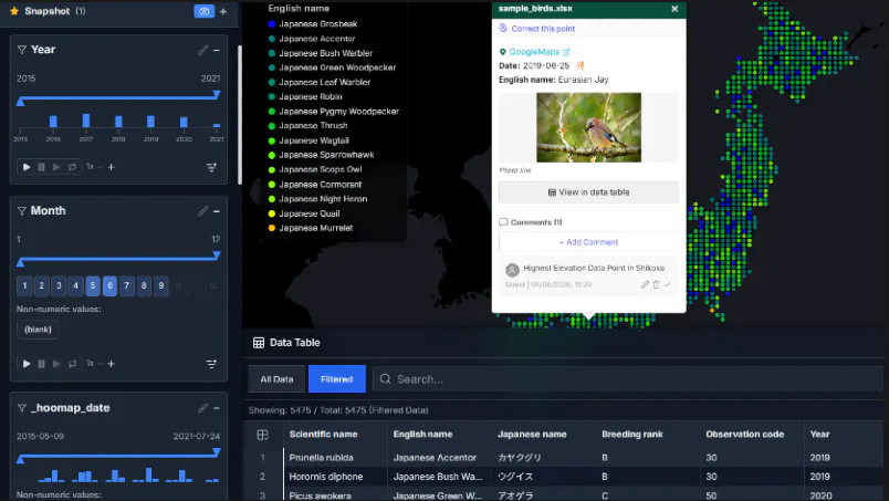
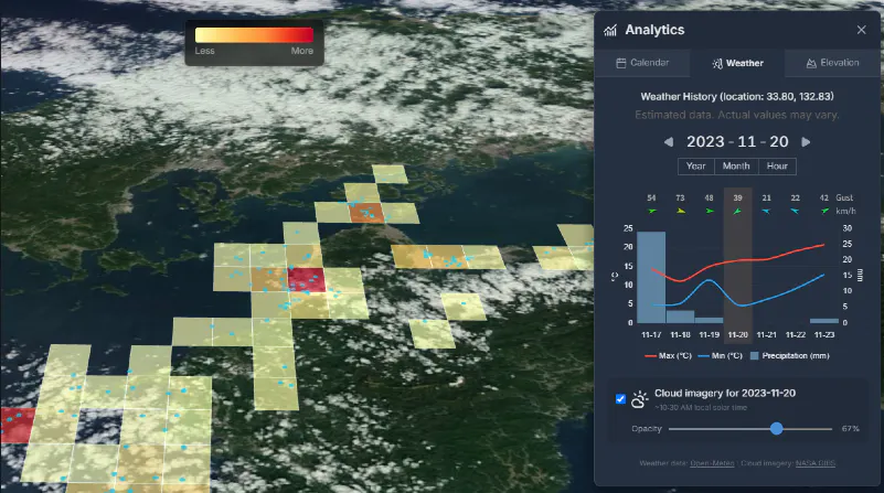
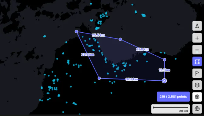
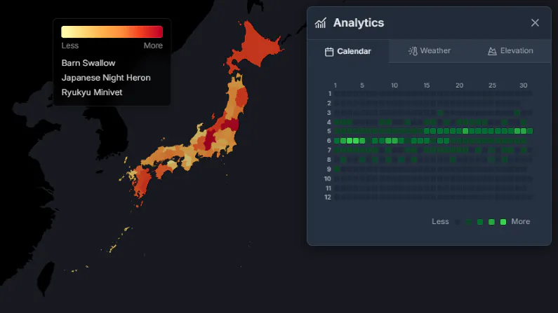
Turn CSV and Excel files into interactive maps in seconds. HooMap lets you visualize coordinate data directly in your browser with no installation or cloud upload required. Everything runs locally for full privacy. Explore rich spatial analysis tools including filters, elevation profiles, historical weather, choropleth maps, and animated data views— ideal for presentations, research, and data storytelling.
スクリーンショット
?
まだコメントはありません。最初のひとりになりましょう!
HooMap に関する X でのリアルな声
X に投稿