

AxisTrack とは?
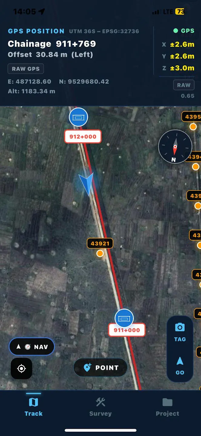
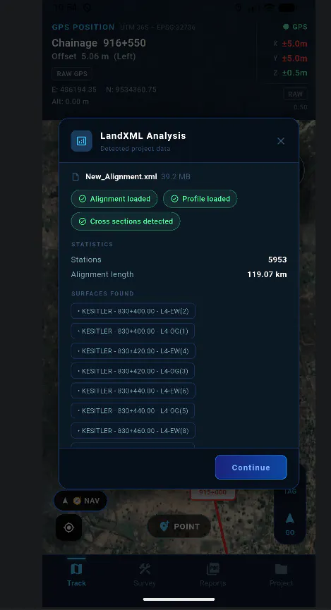
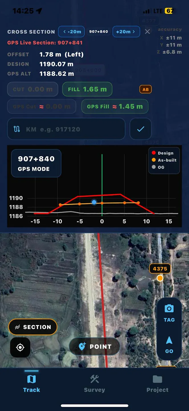
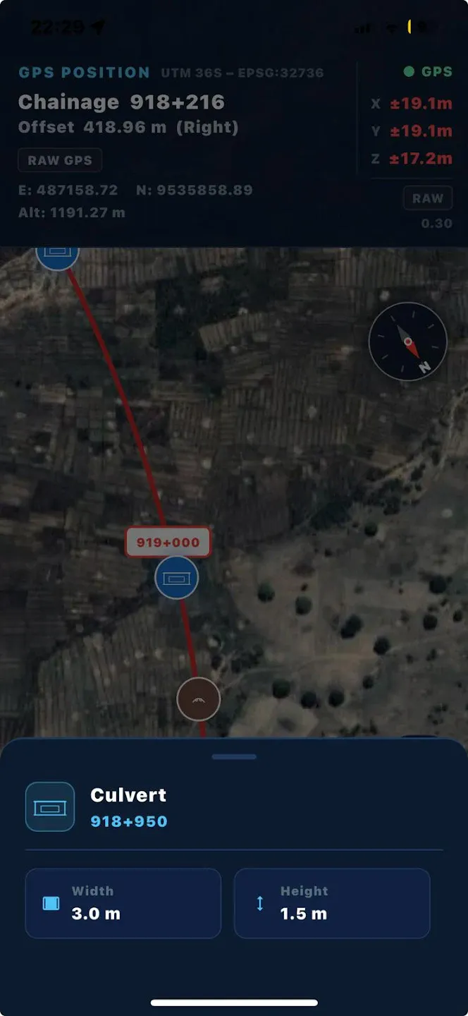
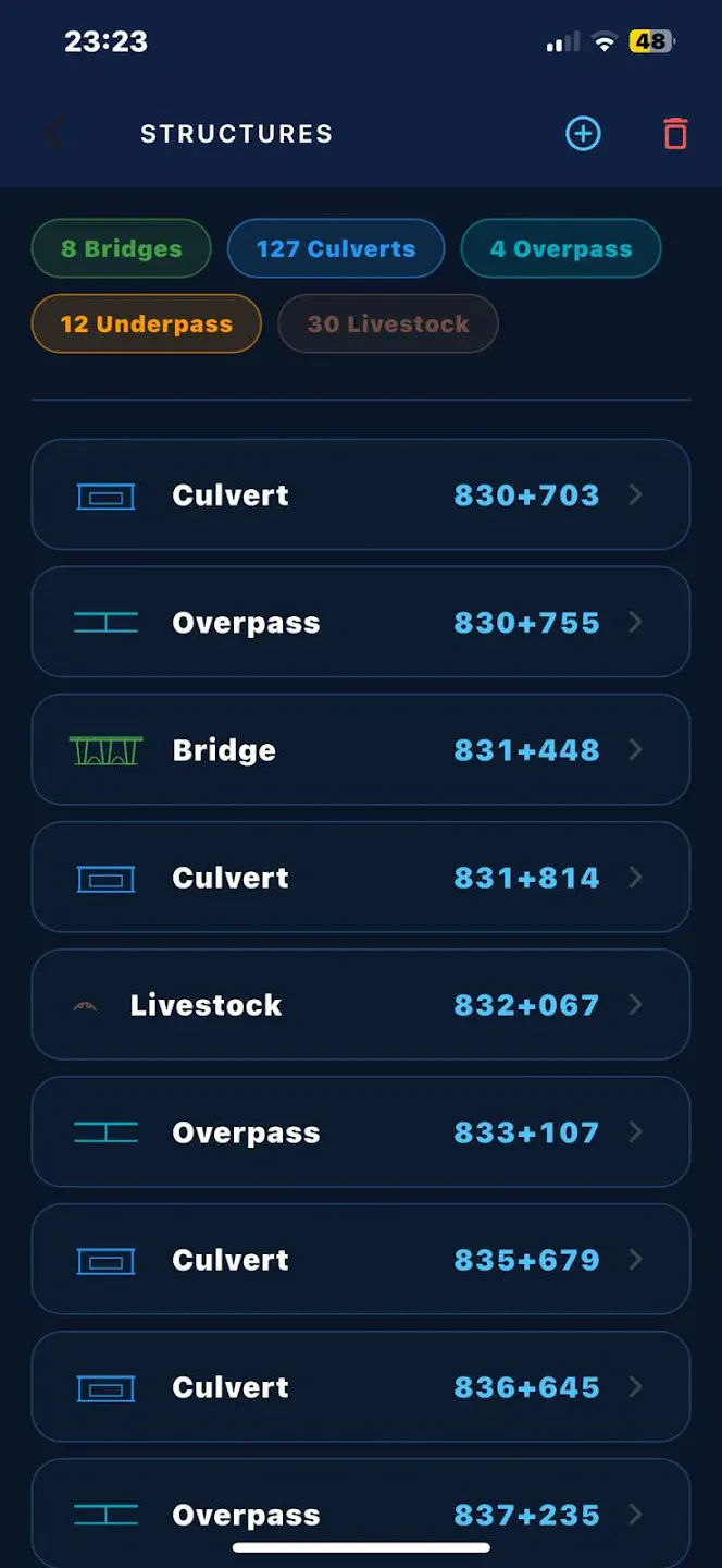
AxisTrack is a mobile GIS and surveying tool for engineers working in the field. Measure distances, perform cut & fill analysis, and manage geospatial data directly from your phone. Built for fast and simple field workflows. Uses standard smartphone GPS and is intended for informational use, not high-precision surveying.
スクリーンショット
?
まだコメントはありません。最初のひとりになりましょう!
AxisTrack に関する X でのリアルな声
X に投稿