


HooMap
Turn CSV & Excel coordinates into interactive maps
¿Qué es HooMap?
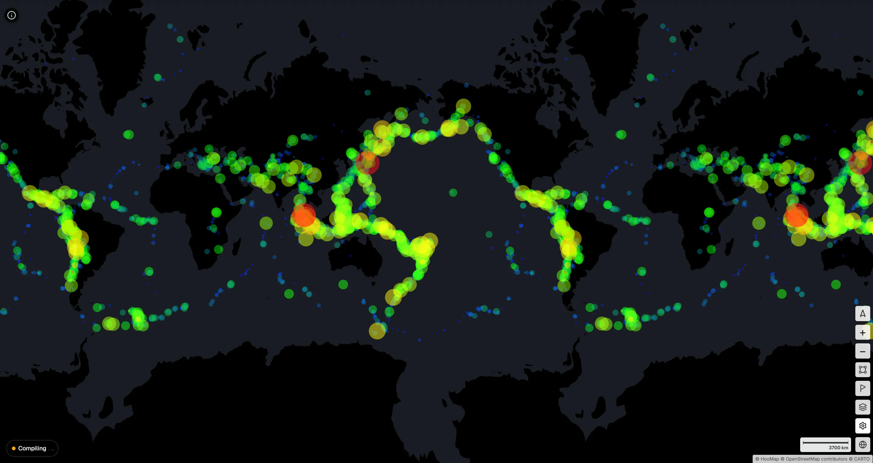
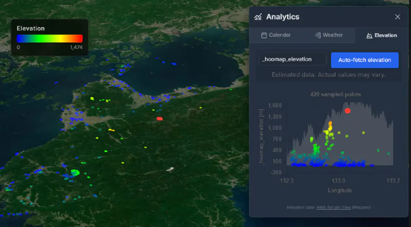
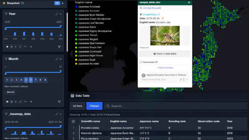
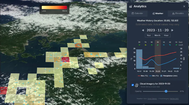
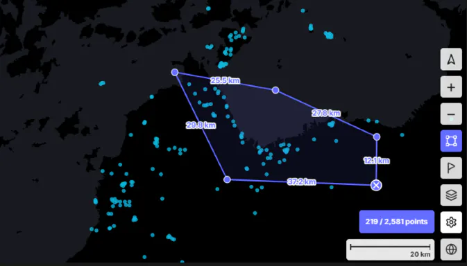
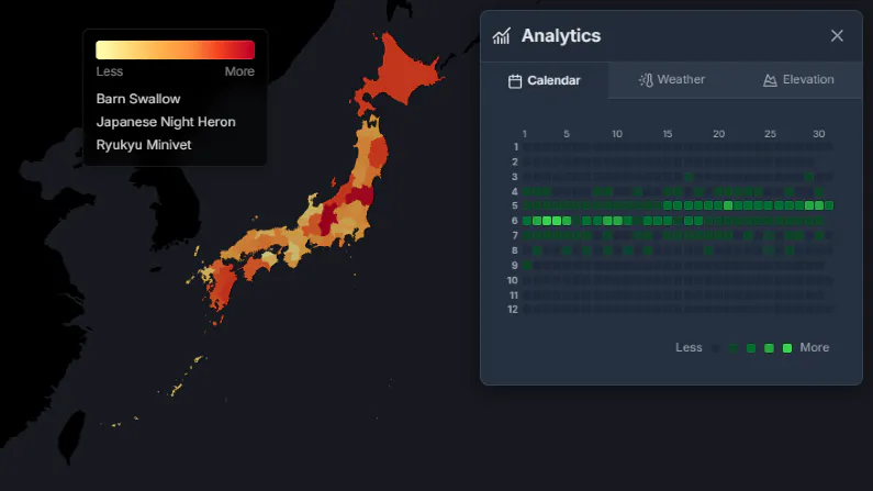
Turn CSV and Excel files into interactive maps in seconds. HooMap lets you visualize coordinate data directly in your browser with no installation or cloud upload required. Everything runs locally for full privacy. Explore rich spatial analysis tools including filters, elevation profiles, historical weather, choropleth maps, and animated data views— ideal for presentations, research, and data storytelling.
Capturas de pantalla
?
Aún no hay comentarios. ¡Sé el primero!
Conversaciones reales sobre HooMap en X
Publicar en X