

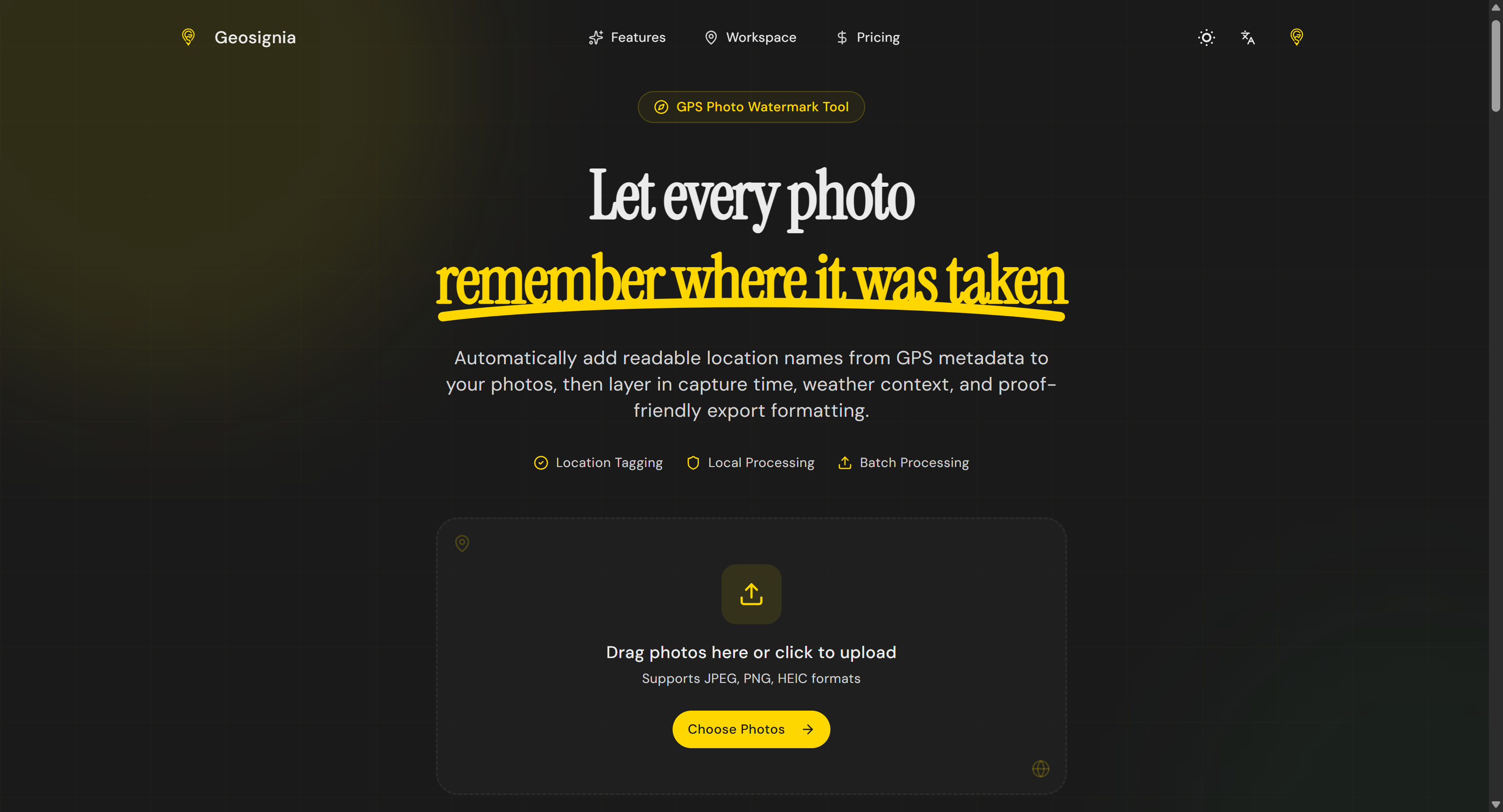

¿Qué es Geosignia?
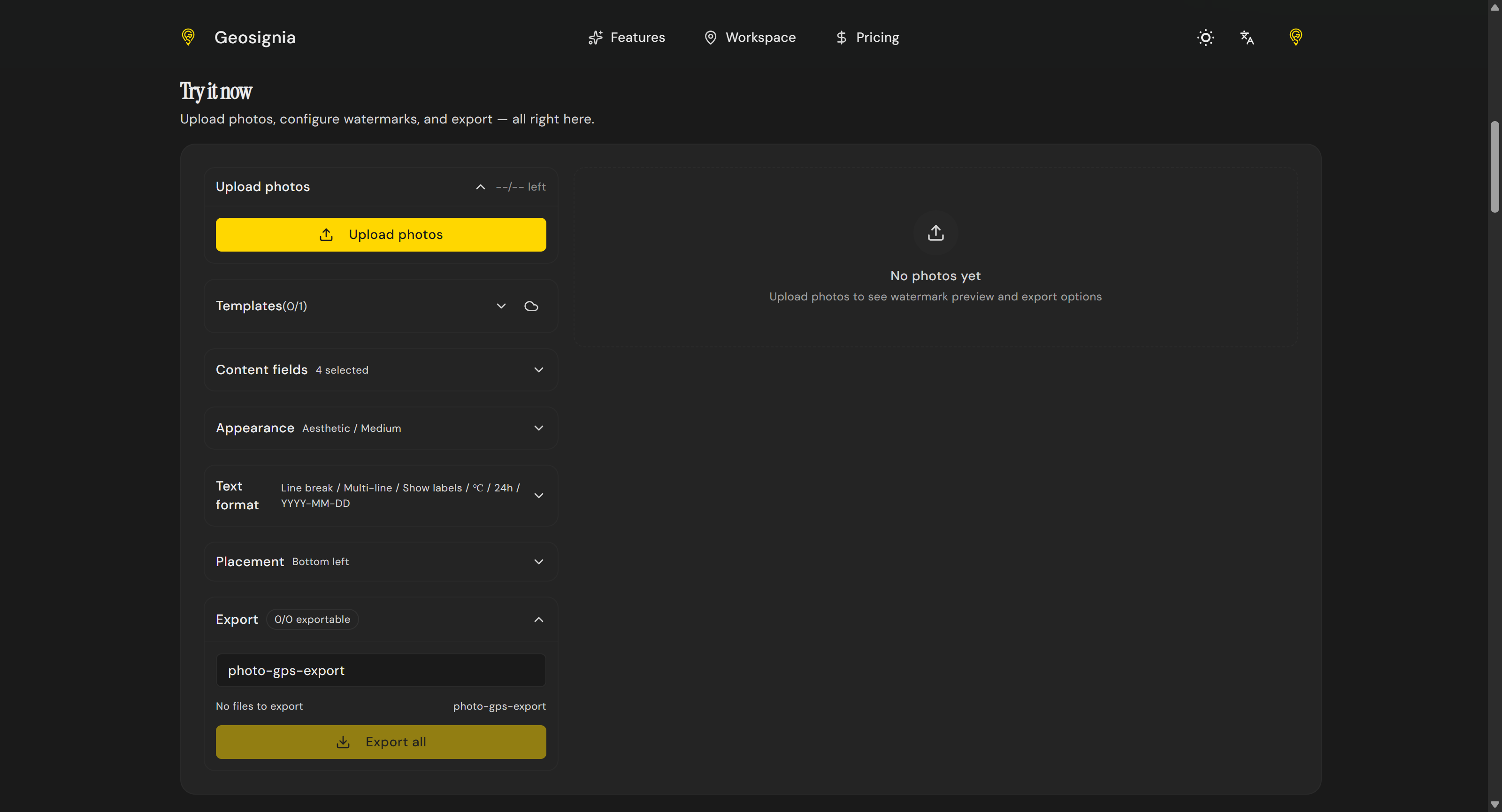
Geosignia turns hidden photo GPS metadata into readable overlays. Extract coordinates, convert them to place names, and apply custom watermarks with date, time, and weather context. Featuring batch processing and reusable templates, it is built for travel journals, outdoor documentation, and field teams needing proof-friendly imagery directly in the browser.
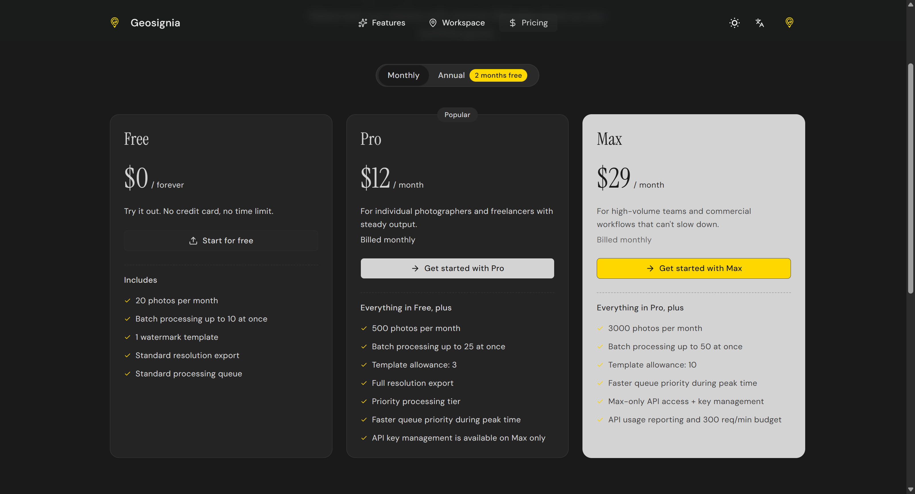
Capturas de pantalla
?
Aún no hay comentarios. ¡Sé el primero!
Conversaciones reales sobre Geosignia en X
Publicar en X